High-Precision Marine Navigation: What Accuracy, Update Rate, and Sensors Matter Most?
In high-precision marine navigation, strong results rarely come from a single headline spec. Accuracy matters, of course, but update rate, sensor behavior, and integration quality often decide whether a system performs well offshore.
For real projects, the better question is not “Which number is highest?” It is “Which combination stays stable in waves, congestion, signal blockage, and compliance reviews?”
That is why high-precision marine navigation should be evaluated like a full perception stack. GNCS often frames this the same way it studies mobility safety systems: precision only matters when it remains reliable under stress.
What matters first in high-precision marine navigation
When teams compare solutions, three parameters usually dominate early decisions: positioning accuracy, update rate, and sensor fusion quality. In practice, none of them should be judged alone.
A system with excellent static accuracy can still feel slow during maneuvers. A fast system can still drift if sensor inputs are poorly calibrated. That tradeoff is where many delays begin.
- Start with operational accuracy, not brochure accuracy. Check performance during turns, docking, and low-visibility movement, because high-precision marine navigation fails most often in dynamic transitions, not ideal test conditions.
- Treat update rate as a control parameter. If position refresh lags vessel motion, even accurate coordinates become less useful for pilots, autopilot logic, and collision-avoidance decisions.
- Review sensor fusion logic early. GNSS, IMU, radar, sonar, and AIS must agree fast enough to support safe guidance when one source degrades or drops out.
- Ask for error behavior, not only average performance. A system that reports uncertainty clearly is usually safer than one showing confident but unstable output.
- Check integration with ECDIS and bridge workflows. High-precision marine navigation adds value only when crews can trust and act on the information without extra interpretation.
Accuracy is more than a single meter value
Accuracy should be split into horizontal accuracy, heading accuracy, and stability over time. For open water transit, small drift may be acceptable. For berthing or channel entry, it often is not.
This is similar to other GNCS-covered sectors. A passive safety component is not judged by one lab number alone. It is judged by repeatability under real stress conditions.
The same rule applies here. In high-precision marine navigation, repeatable accuracy under motion matters more than isolated peak performance.
Why update rate often decides real-world usability
Update rate is easy to underestimate because it sounds technical and secondary. In reality, it directly affects steering confidence, situational awareness, and response timing near hazards.
A vessel does not wait for a slow sensor cycle. If the bridge display refreshes too slowly, crews start making corrections using stale position and heading information.
- Define the minimum acceptable refresh rate by maneuver profile. Harbor work, pilot transfer zones, and offshore support operations usually need faster updates than deep-sea cruising.
- Check end-to-end latency, not sensor output only. Data transmission, processing, display rendering, and network handoff can weaken high-precision marine navigation even with fast core hardware.
- Compare update consistency during load peaks. Radar overlays, chart rendering, and traffic tracking may reduce refresh performance exactly when bridge workload is highest.
- Verify heading and attitude update rates separately. Position may look stable while yaw or roll estimation lags, creating misleading track behavior in rough water.
One common oversight is assuming a higher Hertz figure always solves the problem. It does not. If filtering is poor, faster updates can amplify noise and make tracks appear nervous.
Where slow updates create the most risk
Docking is an obvious case, but not the only one. Narrow channels, offshore construction zones, and areas with dense AIS traffic are also sensitive to sluggish data refresh.
In those conditions, high-precision marine navigation must support fast decisions without increasing false confidence. Stable timing matters as much as raw speed.
Which sensors deserve the closest review
Sensor selection should follow the mission profile. There is no universal “best package.” The right stack depends on vessel size, route complexity, compliance demands, and expected failure modes.
Still, some sensor priorities show up again and again in successful high-precision marine navigation programs.
- Prioritize multi-band GNSS with interference monitoring. It remains the backbone of high-precision marine navigation, but only when spoofing, jamming, and multipath risks are actively managed.
- Use a well-matched IMU or INS for continuity. This is the practical bridge between precise positioning and resilient positioning when satellite quality temporarily collapses.
- Keep radar and sonar in the decision loop. They do not replace GNSS, but they validate environmental reality when signals and charts disagree.
- Treat AIS as supportive, not authoritative. It helps build situational context, yet should never be the only basis for close-quarters decisions.
How sensor fusion turns data into reliable guidance
This is often the real separator. Two platforms may carry similar sensors, yet produce very different outcomes because their fusion engines handle conflicts differently.
Good fusion does three things well. It synchronizes timing, weights sources by confidence, and degrades gracefully when one input becomes unreliable.
- Request fault-handling logic during evaluation. High-precision marine navigation should show what happens when GNSS fades, AIS drops, or radar clutter increases, not just ideal-state output.
- Review timestamp discipline across subsystems. Small timing mismatches can create large apparent track errors, especially during turns, acceleration, or wave-driven heading changes.
- Check confidence scoring on fused output. Operators need a clear sense of certainty, not only a neat visual track on the display.
- Prefer architectures that support software updates cleanly. GNCS intelligence often highlights evolving ECDIS and cloud update practices, and navigation platforms should be ready for that lifecycle.
That last point matters more than it seems. In mobility equipment, whether marine navigation or cabin safety electronics, long-term performance depends on update discipline as much as launch configuration.
A practical scenario: port approach
During port approach, the pressure comes from density, not speed. The vessel may move slowly, but nearby traffic, quay geometry, and local interference can make errors more dangerous.
Here, high-precision marine navigation should be checked for heading stability, latency under display load, and the way fused outputs behave beside structures that trigger multipath.
A practical scenario: offshore operations
Offshore work adds another challenge: motion. Platform support, survey work, and close-proximity operations expose weak attitude estimation very quickly.
In this case, high-precision marine navigation should be validated for roll and yaw response, GNSS recovery time, and continuity during temporary signal degradation.
Common gaps that delay projects later
Many navigation projects do not fail because the technology is poor. They slip because performance assumptions were not tied to operations, integration, or compliance evidence early enough.
- Do not approve systems using only static demos. High-precision marine navigation must be reviewed under motion, interference, and degraded-input conditions before final architecture decisions.
- Avoid separating navigation and safety documentation. Audit teams increasingly expect traceable logic linking sensor performance, failure handling, and operator response pathways.
- Watch calibration burden after installation. A strong sensor package can underperform if vessel-specific mounting, alignment, and sea-trial tuning are treated as minor tasks.
- Check lifecycle support and update governance. Systems that cannot be maintained cleanly become riskier over time, especially when compliance expectations change.
This broader view aligns well with the GNCS perspective across sectors. Whether handling marine perception, lightweight structures, or passive safety electronics, reliable performance depends on the whole chain, not one component.
What to prioritize when comparing next-generation systems
If a decision has to be narrowed quickly, focus on the factors that most strongly affect operational confidence and future maintainability.
- Rank systems by mission-fit performance first. The best high-precision marine navigation platform is the one that stays trustworthy in the actual route, weather, and maneuver profile.
- Give extra weight to graceful degradation. A system that remains usable during partial failure usually creates more real safety value than one with a better peak spec.
- Score update architecture and serviceability early. Clean software maintenance, configuration control, and bridge-system compatibility reduce future cost and operational risk.
- Use sea-trial evidence to settle disputes. When specifications conflict, observed behavior under realistic conditions is the fastest way to identify the stronger solution.
In short, high-precision marine navigation is not about chasing a single best number. It is about building a balanced perception system that stays accurate, timely, and understandable when conditions stop being ideal.
The smartest next step is simple: define the toughest operating scenario first, then test accuracy, update rate, and sensor fusion against that reality. That approach usually leads to better guidance, smoother approvals, and fewer surprises after deployment.
Related News
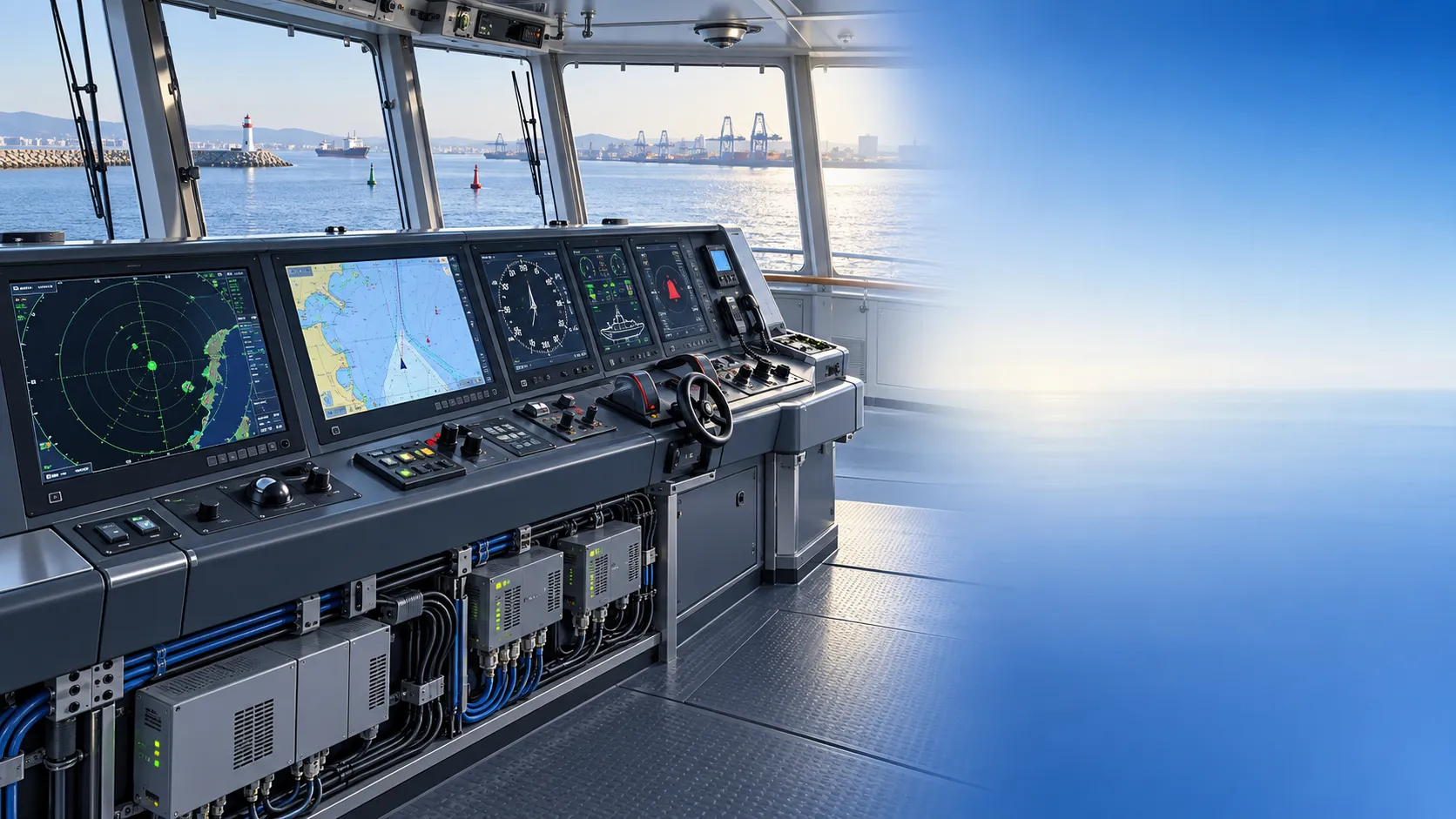
How to Specify Integrated Marine Electronics for Reliable Bridge Operations
Integrated marine electronics: learn how to specify reliable bridge systems with clear data flows, redundancy, alarm control, lifecycle interfaces, and operational testing.
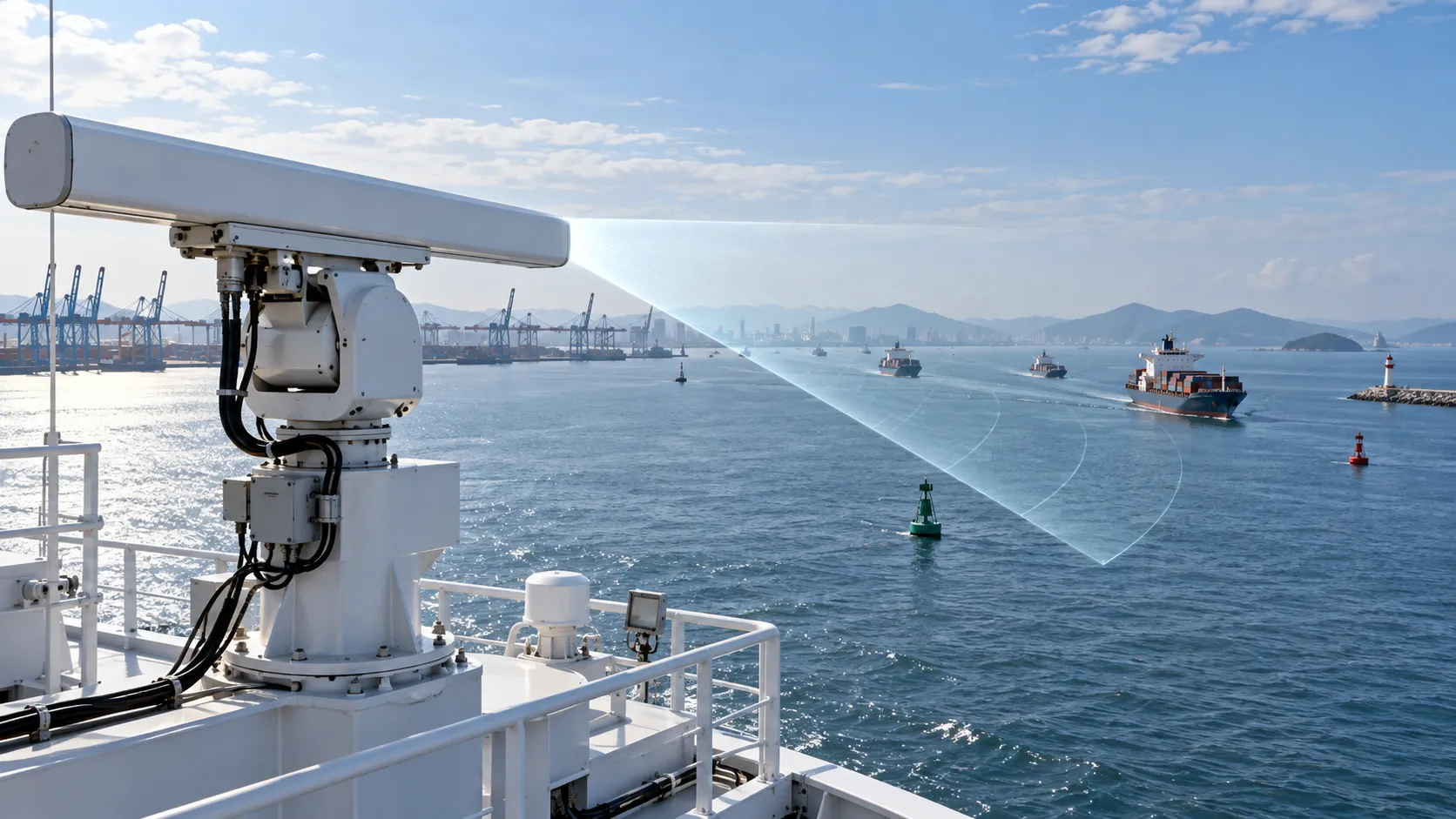
How to Evaluate Navigation Radar Manufacturers for Commercial Vessel Projects
Navigation radar manufacturers: learn how to compare performance, compliance, integration, support, and lifecycle cost for commercial vessel projects.

How Adjustable Cabin Ergonomics Reduce Operator Fatigue in Long-Shift Vehicles
Adjustable cabin ergonomics reduces operator fatigue through better seating, reach, visibility, vibration control, and climate comfort for safer long-shift vehicles.

How Rear-Impact Safety Components Work Together to Protect Vehicle Occupants
Explore how automotive safety components for rear impact work together—from crash structures and seats to head restraints and belts—to enhance occupant protection.
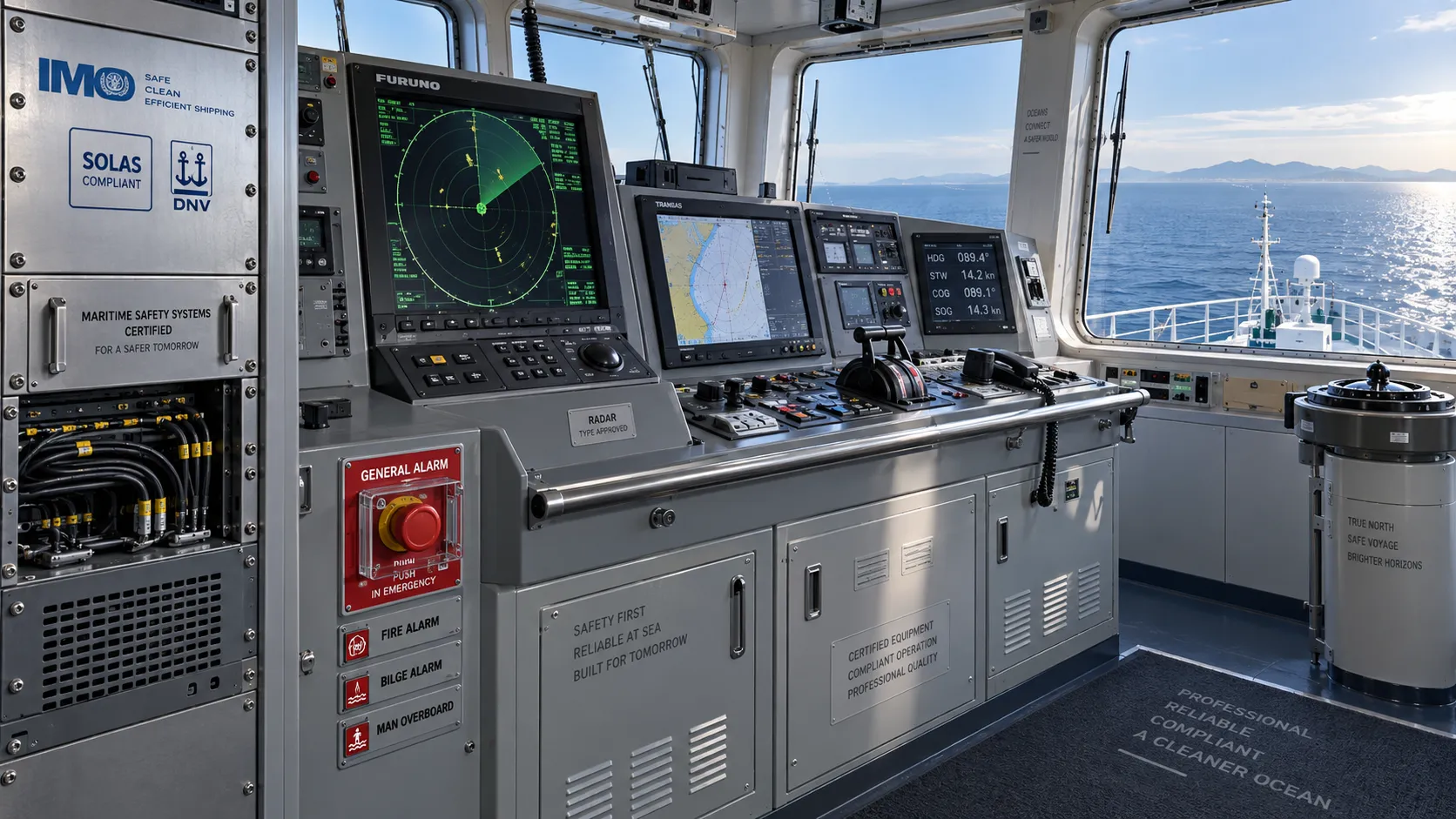
How to Evaluate a Marine Safety Systems Manufacturer for Vessel Compliance and Reliability
Marine safety systems manufacturer evaluation guide: verify compliance, engineering quality, lifecycle costs, and global service support for safer, reliable vessel operations.

Crash Test Regulations for Seatbelts: Key Compliance Requirements Explained
Crash test regulations seatbelts explained: explore FMVSS, UN rules, anchorage strength, and dynamic restraint testing for safer, compliant vehicle systems.

How to Calculate the Total Cost of Automotive Lightweighting for a Vehicle Program
Automotive lightweight solutions cost: learn how to calculate program-level costs, including materials, tooling, joining, validation, risk, and vehicle-level value.

How Automotive Seat Occupancy Sensing Improves Airbag Deployment Decisions
Automotive seat occupancy sensing helps optimize airbag deployment decisions, improving passenger classification, safety diagnostics, and compliance across real-world conditions.

What Drives Lightweight Body Component Costs in High-Volume Vehicle Programs?
Lightweight body components cost depends on material yield, forming, joining, tooling, validation, and logistics. Explore proven ways to optimize total vehicle program cost.
Related News
- 00
0000-00
How to Choose a Marine Positioning Solutions Supplier in Europe for Offshore and Port Operations - 00
0000-00
Marine Positioning Solutions Provider Comparison: GNSS, Accuracy, and Integration Factors - 00
0000-00
Marine Electromagnetic Navigation Accuracy vs GNSS: Which Performs Better Near Interference? - 00
0000-00
Marine Electromagnetic Navigation Accuracy: What Affects Position Stability at Sea? - 00
0000-00
Marine Positioning Systems Exporter Selection: What to Check in GNSS Accuracy, Compliance, and Support
Weekly Insights
Stay ahead with our curated technology reports delivered every Monday.