How Do Automatic Identification Systems Improve Vessel Tracking and Collision Avoidance?
Automatic identification systems sit at the center of modern vessel awareness. They help ships, ports, and traffic services see who is nearby, where each vessel is heading, and how fast situations may change.
That matters because collision risk rarely comes from one blind spot alone. It usually builds from congestion, poor visibility, delayed communication, and incomplete positioning data across busy waterways.
For a platform such as GNCS, which tracks precision perception and safety systems across global mobility, automatic identification systems are more than a shipboard tool. They are part of a wider intelligence chain linking sensing, compliance, and operational judgment.
What Automatic Identification Systems Actually Do
Automatic identification systems, often called AIS, are radio-based tracking systems used by vessels and coastal authorities. They transmit and receive structured navigation data in near real time.
A typical AIS message includes a vessel’s identity, position, course, speed, heading, and navigational status. Depending on the setup, it may also share destination and estimated arrival information.
Simple tracking is only the first layer. The real value comes from turning many moving targets into a readable traffic picture that crews and control centers can assess quickly.
In practical terms, automatic identification systems support watchkeepers in the same way other safety-critical systems support mobility sectors. They reduce uncertainty by making hidden dynamics visible before they become emergencies.
Why The Industry Pays Attention
Shipping lanes are busier, vessel sizes are larger, and port turnaround pressure is stronger than before. At the same time, regulators expect better records, cleaner reporting, and more disciplined risk management.
This is why automatic identification systems keep gaining strategic value. They serve navigation, but they also feed traffic planning, incident review, emissions routing analysis, and compliance documentation.
From GNCS’s perspective, that fits a broader pattern across marine navigation and passive safety. Reliable protection starts with accurate sensing, then depends on how consistently data is turned into timely action.
That is also why AIS is rarely evaluated in isolation now. Decision makers increasingly compare it alongside radar, ECDIS, GNSS, sonar, and shore-based traffic services.
How Vessel Tracking Becomes More Useful
Vessel tracking improves when location data is continuous, standardized, and shareable. Automatic identification systems help on all three points.
A clearer live traffic picture
AIS reduces ambiguity around nearby traffic. Instead of seeing only a target echo, operators can often identify the vessel type, name, movement pattern, and likely route intention.
That extra context is crucial in narrow channels, port approaches, fishing zones, and separation schemes. It helps distinguish routine passing situations from developing conflicts.
Better continuity across operating environments
Radar performance can be affected by clutter, target size, and interpretation limits. Visual lookout can degrade in fog, rain, darkness, or heavy traffic. AIS adds another layer of continuity.
Because automatic identification systems broadcast structured data, shore stations, satellite services, and fleet platforms can extend tracking beyond the bridge. That makes voyage monitoring more consistent.
More actionable historical records
Tracking is not only about the present moment. AIS records support route replay, incident reconstruction, port call analysis, and trend comparison across voyages or fleet segments.
For research and intelligence work, this historical layer is often where automatic identification systems become especially valuable. It reveals recurring congestion patterns and operational behavior, not just isolated events.
How AIS Supports Collision Avoidance
Collision avoidance is about early understanding, not last-minute reaction. Automatic identification systems help by improving prediction and communication before vessels close dangerously.
AIS does not replace the Collision Regulations, radar plotting, or bridge discipline. It strengthens them by giving crews earlier recognition of closing speeds and crossing geometry.
This is especially useful when several vessels are moving at once. In those cases, the issue is not only detecting targets. It is prioritizing the right target at the right time.
Typical Settings Where Benefits Become Visible
The value of automatic identification systems changes by operating context. Some environments rely on them heavily for situational clarity, while others use them mainly for coordination and records.
- Port approaches, where dense traffic and pilotage activity require fast target recognition.
- Coastal corridors, where ferries, cargo vessels, fishing boats, and service craft interact constantly.
- Restricted visibility conditions, when visual detection and manual identification become slower.
- Offshore support operations, where vessel coordination affects safety zones and work timing.
- Fleet monitoring, where shore teams need route transparency and exception alerts.
Satellite AIS adds another dimension for open-sea awareness. It is useful for macro traffic analysis, though latency and coverage conditions still need practical interpretation.
Limits That Need A Realistic Reading
AIS is powerful, but it is not infallible. Good operational use starts with understanding where automatic identification systems can mislead if treated as a standalone truth source.
Data quality depends on inputs
Static or voyage-related information can be entered incorrectly. A wrong destination, draft, or call sign can distort planning and traffic interpretation.
Not every vessel presents equally
Carriage rules differ by vessel class and region. Smaller craft may not carry the same equipment, and some targets may appear intermittently or not at all.
Signal coverage has operating constraints
Radio range, antenna placement, congestion, and environmental conditions affect message reliability. In busy areas, update confidence should always be checked against other sensors.
That broader sensor fusion mindset mirrors GNCS coverage across mobility technologies. Safety improves most when one system validates another instead of replacing it.
What To Examine In Business And Research Decisions
When assessing automatic identification systems, technical presence alone is not enough. The more useful question is how well the system supports a decision chain from detection to action.
- Check integration with ECDIS, radar, alarms, and fleet platforms.
- Review update behavior in dense traffic and difficult coastlines.
- Compare onboard use cases with shore-based analytics requirements.
- Look at data governance, retention, and audit trail needs.
- Track regulatory changes affecting carriage, reporting, and cyber resilience.
It also helps to distinguish operational tracking from strategic intelligence. One supports safe navigation in the moment. The other supports planning, procurement, and compliance over time.
That distinction is where a portal like GNCS becomes relevant. It connects marine signal processing with the wider discipline of safety-critical systems, where visibility, timing, and reliability determine outcomes.
A Practical Next Step
Automatic identification systems improve vessel tracking and collision avoidance by making marine traffic more legible, more traceable, and easier to interpret before risk peaks.
The most useful next step is to evaluate AIS in context: vessel type, route density, bridge workflow, shore visibility, and compliance exposure. Those factors reveal whether the system is merely installed or genuinely informative.
From there, the smarter path is to compare AIS performance alongside radar, ECDIS updates, and traffic management needs. That approach produces a clearer basis for research, procurement, and long-range safety judgment.
Related News
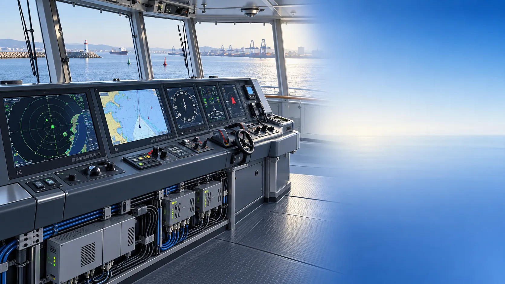
How to Specify Integrated Marine Electronics for Reliable Bridge Operations
Integrated marine electronics: learn how to specify reliable bridge systems with clear data flows, redundancy, alarm control, lifecycle interfaces, and operational testing.
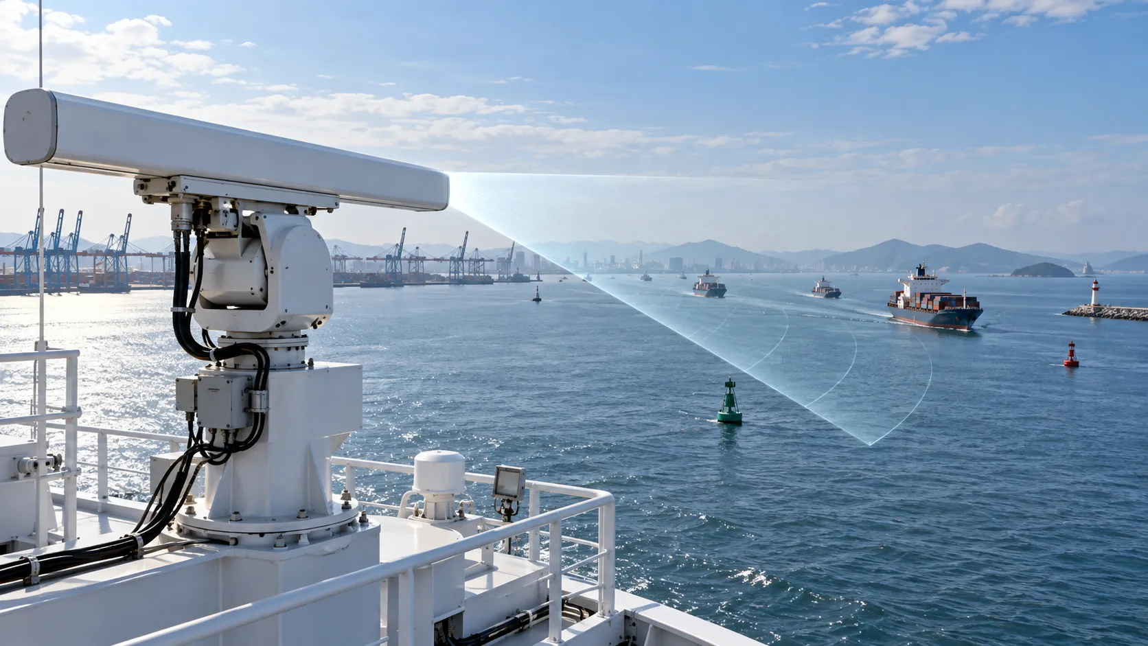
How to Evaluate Navigation Radar Manufacturers for Commercial Vessel Projects
Navigation radar manufacturers: learn how to compare performance, compliance, integration, support, and lifecycle cost for commercial vessel projects.

How Adjustable Cabin Ergonomics Reduce Operator Fatigue in Long-Shift Vehicles
Adjustable cabin ergonomics reduces operator fatigue through better seating, reach, visibility, vibration control, and climate comfort for safer long-shift vehicles.

How Rear-Impact Safety Components Work Together to Protect Vehicle Occupants
Explore how automotive safety components for rear impact work together—from crash structures and seats to head restraints and belts—to enhance occupant protection.
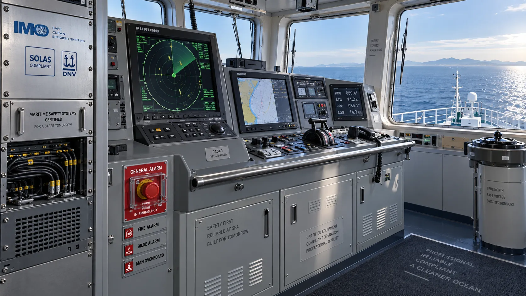
How to Evaluate a Marine Safety Systems Manufacturer for Vessel Compliance and Reliability
Marine safety systems manufacturer evaluation guide: verify compliance, engineering quality, lifecycle costs, and global service support for safer, reliable vessel operations.
Crash Test Regulations for Seatbelts: Key Compliance Requirements Explained
Crash test regulations seatbelts explained: explore FMVSS, UN rules, anchorage strength, and dynamic restraint testing for safer, compliant vehicle systems.

How to Calculate the Total Cost of Automotive Lightweighting for a Vehicle Program
Automotive lightweight solutions cost: learn how to calculate program-level costs, including materials, tooling, joining, validation, risk, and vehicle-level value.

How Automotive Seat Occupancy Sensing Improves Airbag Deployment Decisions
Automotive seat occupancy sensing helps optimize airbag deployment decisions, improving passenger classification, safety diagnostics, and compliance across real-world conditions.

What Drives Lightweight Body Component Costs in High-Volume Vehicle Programs?
Lightweight body components cost depends on material yield, forming, joining, tooling, validation, and logistics. Explore proven ways to optimize total vehicle program cost.
Related News
- 00
0000-00
How to Evaluate Navigation Radar Manufacturers for Commercial Vessel Projects - 00
0000-00
How to Evaluate Cargo Marine Sonar Systems for Detection Range and Vessel Fit - 00
0000-00
How to Evaluate Marine Signal Processing Software for Radar and Sonar Integration - 00
0000-00
How Do Automatic Identification Systems Improve Vessel Tracking and Collision Avoidance? - 00
0000-00
How to Choose Marine Navigation Systems for Patrol Boats in Coastal and Offshore Missions
Weekly Insights
Stay ahead with our curated technology reports delivered every Monday.