How to Choose Marine Navigation Systems for Patrol Boats in Coastal and Offshore Missions
Choosing marine navigation systems for patrol boats is rarely a matter of comparing feature lists. In coastal interception, harbor security, and offshore surveillance, navigation decisions shape response time, crew awareness, and operational resilience. The right configuration must fit the boat, the mission profile, and the maintenance reality behind daily deployment.
That is why marine navigation systems for patrol boats deserve closer evaluation today. Patrol fleets face denser traffic near shore, wider operating envelopes offshore, and tighter compliance expectations across regions. A system that performs well on paper can still create gaps if radar interpretation, sensor fusion, update management, or redundancy planning are poorly matched to actual use.
From the broader mobility intelligence perspective of GNCS, navigation is part of a larger safety chain. Precision spatial perception, signal reliability, and human-machine usability all matter. For patrol platforms, that means selecting equipment not only for detection range, but also for decision clarity under stress.
What the system really includes
In practice, marine navigation systems for patrol boats are integrated operating environments. They combine positioning, target tracking, route awareness, seabed understanding, and collision avoidance into one usable bridge picture.
Core elements usually include GNSS receivers, radar, AIS, echo sounders or sonar, electronic chart systems, heading sensors, autopilot interfaces, and onboard displays. Some vessels also add thermal cameras, inertial backup, and secure data links for command coordination.
The important question is not whether each device exists. It is whether the system presents coherent information fast enough for short-decision missions, especially in traffic separation zones, shallow waters, poor weather, or nighttime pursuit.
Why patrol operations demand a different selection logic
Commercial vessels often optimize for predictable routes and endurance. Patrol boats work differently. They accelerate quickly, change headings often, and shift between observation, interception, and standby patterns within a single watch.
This changes the selection criteria for marine navigation systems for patrol boats. Screen readability during high-speed motion, radar refresh behavior, fast target reacquisition, and stable position tracking during abrupt maneuvers become far more important.
Coastal and offshore missions also pull requirements in different directions. Near shore, clutter rejection, shallow-water awareness, and close-range target discrimination dominate. Offshore, long-range detection, weather resilience, and communication integration move higher on the list.
Start with mission profile, not equipment catalogs
A reliable selection process begins with operational mapping. Before comparing brands or architectures, define how the boat will actually be used across a twelve to twenty-four month period.
- Typical patrol radius and maximum offshore distance
- Expected sea state, visibility limits, and weather exposure
- Interception speed, loiter patterns, and low-speed station keeping
- Threat environment, including non-cooperative or small targets
- Crew size, training level, and bridge workload distribution
- Integration with command centers or fleet-wide data networks
This step usually exposes whether the project needs a compact, highly responsive coastal package or a more redundant offshore navigation suite. It also prevents overbuying hardware that adds cost without improving operational outcome.
Key technologies that deserve close scrutiny
Radar performance in cluttered and dynamic waters
Radar remains central to marine navigation systems for patrol boats. Yet headline range alone says little about real patrol value. More useful indicators include target separation in coastal clutter, performance against small craft, and consistency in rain or sea return.
Short pulse behavior, automatic tuning logic, and display ergonomics matter during quick engagements. A radar that requires constant manual correction can increase bridge burden at the worst moment.
Positioning resilience beyond standard GPS
Modern patrol work should not rely on a single positioning source. Multi-constellation GNSS, differential correction support, and inertial backup improve continuity when signal quality drops or interference appears.
This is especially relevant offshore, where recovery options are slower, and in sensitive coastal zones, where signal disruption may be intentional or incidental. Position confidence is as important as raw accuracy.
AIS, sonar, and chart integration
AIS helps identify cooperative traffic, but patrol scenarios often involve vessels with poor or absent transmission behavior. That makes fused interpretation essential. Radar tracks, AIS overlays, chart layers, and depth data should support each other rather than compete for operator attention.
For shallow approaches, estuaries, and harbor entrances, echo sounders or sonar provide another layer of confidence. In these environments, marine navigation systems for patrol boats should help crews distinguish navigational hazard from surface target activity.
A practical comparison framework
When narrowing options, a structured comparison avoids decisions driven by isolated specifications. The table below reflects the criteria that usually influence operational fit most directly.
Compliance, lifecycle, and fleet-level economics
The best marine navigation systems for patrol boats are not always the ones with the most advanced sensor stack. They are the ones that stay supportable, updateable, and auditable over years of service.
Regional carriage rules, chart standards, communication protocols, and cybersecurity expectations all influence final choice. Offshore assignments may also require stricter documentation for redundancy and maintenance traceability.
This is where GNCS-style intelligence becomes useful. Selection should account for regulatory iteration, software update pathways such as cloud-managed ECDIS environments, and the commercial stability of component suppliers. Procurement value depends on long-term operability, not purchase price alone.
A low initial cost can become expensive if displays age out quickly, sensor interfaces lock into proprietary formats, or spare lead times interrupt patrol readiness. Lifecycle support should be treated as a technical parameter, not an administrative afterthought.
Typical selection mistakes
Several recurring errors weaken otherwise capable projects. Most are avoidable when marine navigation systems for patrol boats are judged in live operating context.
- Choosing by maximum range while ignoring near-shore clutter handling
- Assuming AIS visibility equals complete situational awareness
- Underestimating display usability during high-speed maneuvers
- Treating redundancy as optional for offshore deployment
- Failing to budget for updates, calibration, and crew familiarization
- Overlooking integration risk between legacy and new subsystems
These issues usually appear after delivery, when correction is slow and expensive. Early scenario testing is far more effective than late technical patching.
How to move from evaluation to decision
A sound decision process for marine navigation systems for patrol boats should end with measurable acceptance criteria. Bench specifications help, but field validation is what confirms fit.
It makes sense to build a short decision matrix covering mission profile, target environment, redundancy level, integration demands, support plan, and compliance exposure. Then test shortlisted systems against real scenarios, including cluttered harbor transit, low-visibility tracking, and offshore recovery navigation.
The most dependable choice is usually the one that keeps perception clear, actions simple, and maintenance predictable across the full service cycle. From there, the next step is straightforward: define the operational envelope in detail, rank critical functions, and compare solutions against conditions the vessel will actually face.
Related News

How to Evaluate Mobility Safety Systems for Safer Vehicle Platform Design
Mobility safety systems evaluation starts with platform architecture, crash energy management, and seat-restraint timing. Learn how to choose safer, validation-ready vehicle designs.
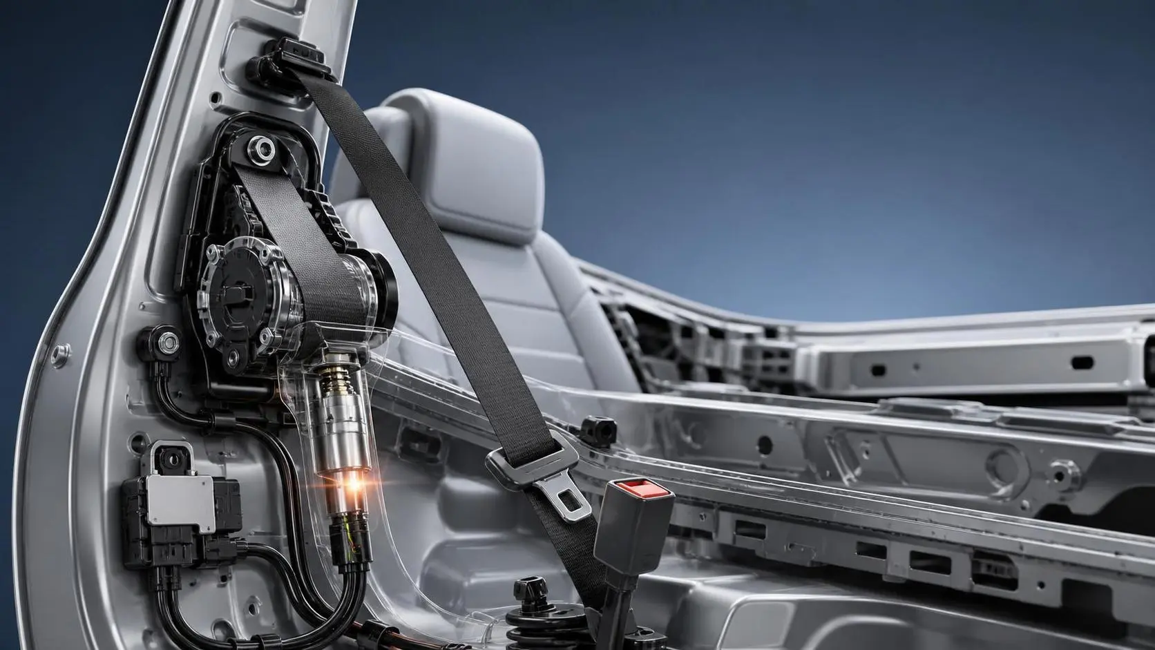
How Seat Belt Pretensioners for EVs Improve Crash Safety and System Response
Seat belt pretensioners for EVs improve crash timing, occupant control, and system response. Discover how smarter integration boosts EV safety performance.
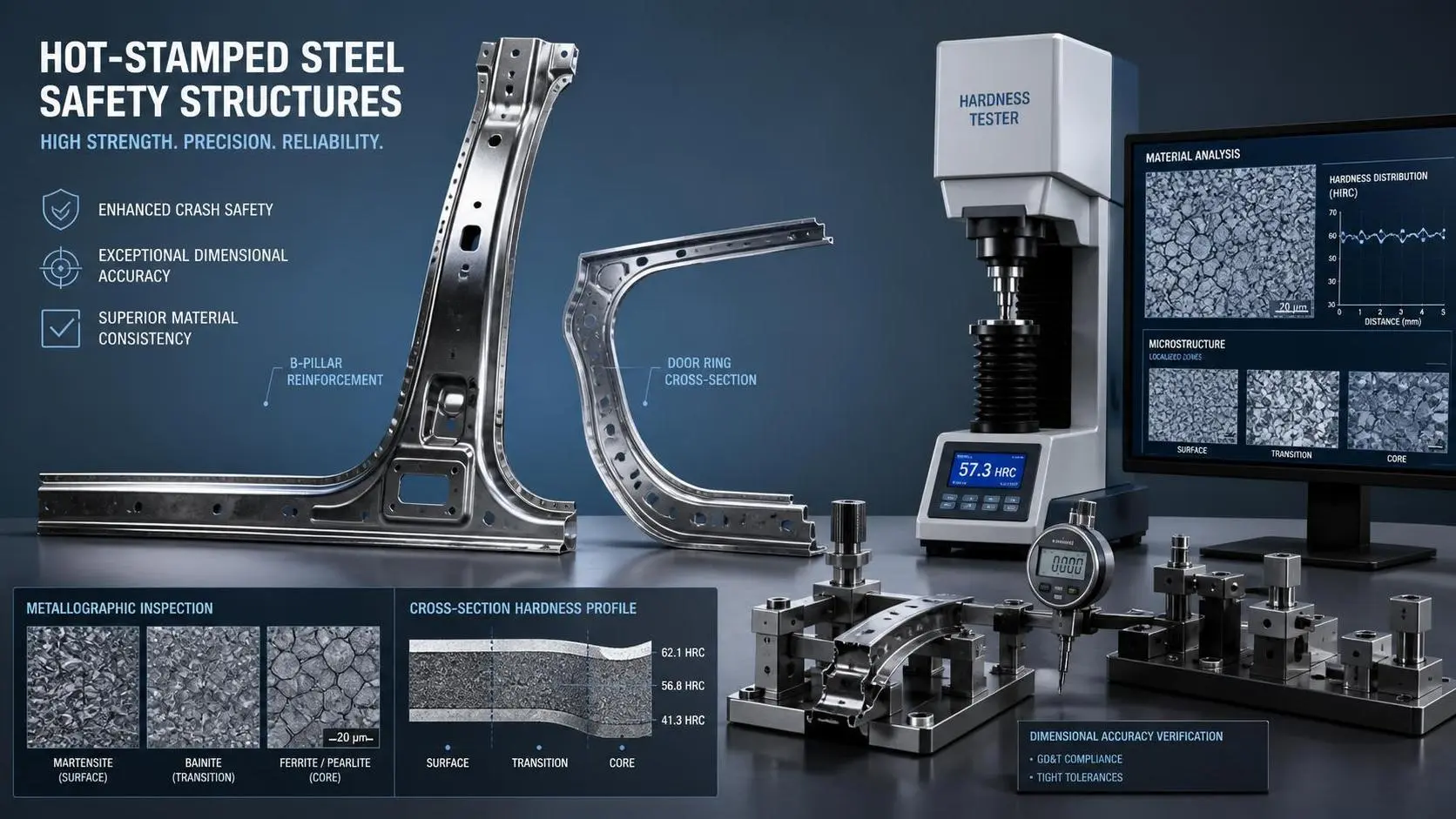
How to Evaluate High Strength Hot Stamped Steel Parts for Crash-Safety Applications
High strength hot stamped steel parts for crash-safety applications: learn how to assess strength, microstructure, dimensional accuracy, and process stability for safer sourcing decisions.
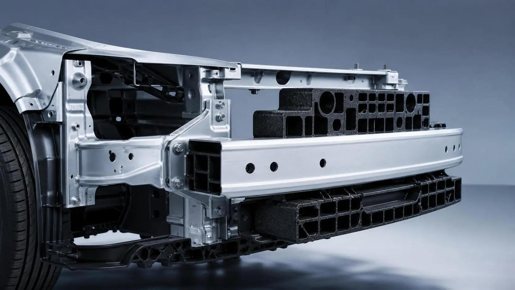
How Crash Management Components Reduce Repair Costs and Improve Impact Performance
Crash management components help reduce repair costs, protect critical vehicle structures, and improve impact performance. Learn how smarter design supports safer, more cost-efficient mobility programs.
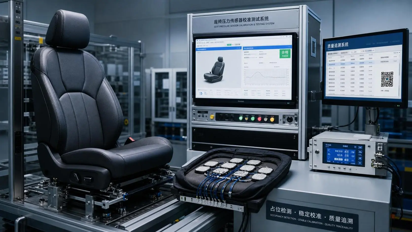
How to Evaluate a Seat Sensing Systems Factory for Automotive Safety Programs
Seat sensing systems factory selection goes beyond price. Learn how to assess quality control, validation, PPAP readiness, and long-term supply reliability for safer automotive programs.
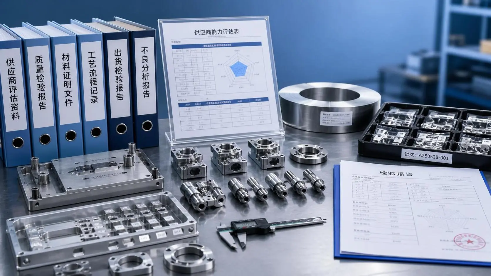
Supplier Capability Evaluation Process: Key Criteria for B2B Sourcing Decisions
Supplier capability evaluation process explained: learn the key criteria for B2B sourcing decisions, reduce supplier risk, and choose partners with confidence.
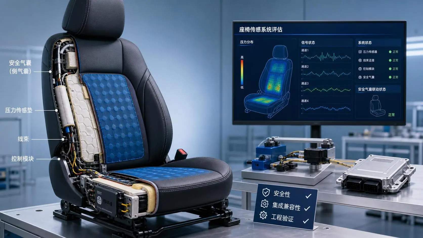
How to Evaluate a Seat Sensing Technology Supplier for Safety and Integration?
Seat sensing technology supplier evaluation guide: compare safety maturity, integration fit, algorithm reliability, and validation support to choose a partner that reduces risk.
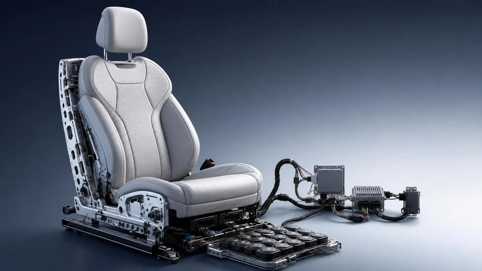
How to Evaluate Custom Smart Automotive Seating for Premium Vehicle Programs?
Custom smart automotive seating evaluation starts with safety, comfort, integration, and production readiness. Discover how premium vehicle teams choose smarter, lower-risk seat solutions.
B2B Product Intelligence Platforms: How to Compare Features, Data Coverage, and ROI
B2B product intelligence platform comparison: learn how to evaluate data coverage, feature depth, compliance visibility, and ROI to choose a sourcing tool that reduces risk and speeds decisions.
Related News
- 00
0000-00
How to Evaluate Cargo Marine Sonar Systems for Detection Range and Vessel Fit - 00
0000-00
How to Evaluate Marine Signal Processing Software for Radar and Sonar Integration - 00
0000-00
How Do Automatic Identification Systems Improve Vessel Tracking and Collision Avoidance? - 00
0000-00
How to Choose Marine Navigation Systems for Patrol Boats in Coastal and Offshore Missions - 00
0000-00
Marine Electronics Systems Distributor Selection: 7 Checks Before You Compare Quotes
Weekly Insights
Stay ahead with our curated technology reports delivered every Monday.