
How GNCS improves position reliability when GNSS signals degrade
A navigation system can still display a plausible latitude and longitude after satellite reception has degraded. That is precisely why degraded GNSS is a safety problem rather than merely an availability problem. A frozen solution, a slowly drifting track, or a confidently wrong position can be more hazardous than an explicit loss-of-fix alarm, particularly when a vessel is approaching confined waters or a vehicle is using position data to support automated functions.
GNCS approaches this problem as one of position reliability: the system must preserve useful situational awareness when the satellite layer becomes incomplete, distorted, delayed, or untrustworthy. It does not accomplish that with a single “better GPS receiver.” Reliable degraded-mode performance comes from an architecture that detects bad measurements early, estimates the uncertainty of its own output, and draws on independent sensors before a navigation error becomes operationally significant.
Reliable positioning starts with knowing when GNSS is wrong
Signal degradation takes several forms, and they do not produce the same failure signature. Buildings, terrain, container stacks, bridge structures, and antenna masking can reduce satellite visibility. Multipath causes reflected signals to arrive alongside the direct signal, shifting timing estimates. Atmospheric effects, receiver faults, jamming, and spoofing introduce different types of error. A receiver may report fewer satellites in one case, while in another it may retain strong-looking signals that contain misleading timing or navigation data.
For a technical evaluator, this distinction matters. “Works in weak signal” is an incomplete requirement unless it identifies the degraded condition being considered. A system optimized to recover quickly after short obstruction may offer limited protection against coherent spoofing. One designed to reject obvious interference may still accumulate inertial drift during an extended tunnel, fjord passage, or sheltered berth maneuver.
The first layer of a resilient GNCS-style architecture is therefore signal and solution integrity monitoring. Rather than treating every tracked signal as equally valid, the receiver and fusion engine assess indicators such as measurement consistency, satellite geometry, signal quality, timing behavior, and agreement among independent observations. The goal is not to promise a perfect position under every disturbance. It is to recognize when the calculated position no longer deserves its normal confidence level.
This produces an operationally important output: an estimate of protection or uncertainty around the reported position. The displayed position alone answers, “Where does the system think it is?” A well-designed integrity function also answers, “How far wrong could that estimate reasonably be before the system alerts?” Those are different questions. Safety-relevant navigation decisions require both.

Multi-constellation reception improves resilience, but it is not a complete answer
Using multiple global navigation satellite constellations generally improves visibility and geometry. In partially obstructed environments, more candidate satellites can reduce the chance that an otherwise usable solution disappears simply because one constellation is poorly placed relative to the antenna’s view of the sky. Multi-frequency capability can also support more robust handling of propagation-related error and may improve the receiver’s ability to distinguish certain poor-quality measurements.
Those benefits are real, but evaluators should resist treating constellation count as a reliability metric by itself. A large number of tracked satellites does not guarantee that their measurements are independent, well-conditioned, or authentic. In a dense harbor, urban corridor, or highly reflective industrial site, many signals can be affected by the same local multipath conditions. During an intentional interference event, the receiver may continue to track signals while its calculated location becomes misleading.
The relevant questions are more specific:
- How does the receiver score or exclude suspect measurements?
- Can it identify an inconsistent satellite or signal path without collapsing the full solution?
- Does it report a degraded-integrity state distinctly from complete GNSS loss?
- How are alerts exposed to the bridge, vehicle controller, recorder, or remote monitoring system?
- Are the stated accuracy figures tied to open-sky conditions, or do they include the intended operating environment?
A receiver that continues publishing coordinates during poor conditions is not necessarily performing well. Its behavior should be evaluated against the quality of the information provided to downstream systems. Position continuity has value only when the system clearly communicates the changing confidence of that position.
Inertial sensing bridges gaps, with limits that must be engineered explicitly
When satellite measurements are rejected or unavailable, inertial measurement units provide the short-term motion information needed to propagate a position estimate. Accelerometers and gyroscopes do not depend on external radio signals, which makes them an essential independent source during obstruction or interference. Wheel-speed information in a road vehicle, a vessel’s speed log, heading source, steering state, and other motion observations can further constrain the estimate.
Inertial navigation is particularly useful because it changes the system response from “GNSS disappeared, position is unavailable” to “GNSS is unavailable, position is being propagated with a growing uncertainty.” That distinction can preserve navigation continuity through brief outages and allow control systems to move into a defined degraded mode rather than failing abruptly.
Its limitation is unavoidable: inertial errors accumulate. Bias in a gyroscope or accelerometer becomes position error over time, and the rate of growth depends on sensor grade, vibration environment, installation quality, calibration, vehicle dynamics, and available aiding sources. A claim that a system has inertial backup should therefore be followed by a more practical question: for how long, under what maneuvers, and within what alert limit can the system support the intended operation?
For marine use, the answer may depend on whether the vessel is in open water, conducting pilotage, maneuvering near fixed hazards, or operating close to other traffic. For automotive use, it depends on road geometry, map quality, wheel-slip conditions, antenna placement, and the function consuming the location estimate. A positioning subsystem suitable for fleet tracking may be inappropriate for lane-level assistance or a constrained harbor approach, even when both are described as “GNSS plus INS.”
Data fusion should manage uncertainty, not hide it
The fusion engine is where GNSS, inertial sensors, and other observations become one navigation solution. Its job is not merely to average sensor outputs. It must account for sensor latency, coordinate frames, mounting alignment, noise characteristics, fault behavior, and the fact that sensors can fail in correlated ways.
A sound fusion design will weight inputs according to their estimated quality and reduce reliance on a source that becomes inconsistent with the wider sensor set. It should also preserve the provenance of the final solution: operators and connected systems need to know whether the current estimate is GNSS-aided, inertially propagated, map-constrained, or operating under a declared degraded state.
Map data and environmental constraints can provide useful supporting evidence, but they must be used carefully. Map matching may stabilize a vehicle position when road geometry is unambiguous; it can also create a visually convincing error when parallel roads, ramps, service lanes, or updated road layouts are involved. Similarly, electronic chart information can support route awareness, but it should not be allowed to silently force a sensor estimate into a location that masks an underlying integrity event.
The engineering principle is straightforward: constraints may refine a position hypothesis, but they should not erase an alarm path. If independent sensors disagree materially, the system should retain that disagreement as diagnostic information rather than force an apparently tidy output.
Validation has to test failure behavior, not only accuracy
Open-sky accuracy testing is necessary, but it tells only part of the story. A technical assessment should examine how the complete positioning chain behaves as conditions deteriorate, how quickly it identifies the condition, and how safely it recovers when good signals return.
Useful validation scenarios include controlled signal blockage, reduced satellite geometry, multipath-prone routes, antenna obstruction, radio-frequency interference representative of the installation environment, abrupt GNSS re-acquisition, and deliberate disagreement between aiding sensors. Testing should include transitions, because many failures occur when a system changes from GNSS-aided navigation to dead reckoning or back again.
GNCS is most useful as a technical lens when it connects signal processing with the operational consequence of a bad position. An evaluator should ask whether the navigation function can demonstrate a defined response at each stage: normal operation, detected degradation, short-term propagation, prolonged loss, and recovery. A product specification that offers only a nominal accuracy figure leaves those states unresolved.
Architecture choices should follow the consequence of error
There is no single universal threshold for reliable positioning because the acceptable error, alert time, and continuity requirement change with the decision being supported. A voyage-planning display, a collision-avoidance aid, a dynamic positioning function, a telematics platform, and an automated driving feature may all consume GNSS-derived coordinates, yet the consequences of a misleading estimate differ sharply.
That is why system requirements should begin with the operational boundary. Define the maximum tolerable position error, the time permitted before warning, the duration of expected GNSS degradation, and the required action once confidence falls below the operational threshold. Only then can teams make defensible choices about receiver capability, inertial sensor grade, redundancy, antenna arrangement, interference monitoring, and validation scope.
Reliable positioning under degraded GNSS is less about maintaining a reassuring coordinate display than about making uncertainty visible and manageable. The strongest architectures keep a position estimate available when conditions allow, declare its changing confidence honestly, and give the wider navigation or mobility system enough information to respond before degraded data becomes a safety event.
Related News

How to Evaluate Supplier Solution References Before Signing a Contract
Evaluate supplier solution references with confidence. Learn how to verify technical evidence, identify delivery risks, and close gaps before signing a contract.

How Capacitive Seat Occupancy Sensing Works in Automotive Airbag Systems
Discover how capacitive seat occupancy sensing supports automotive airbag systems, and explore the design, calibration, and validation challenges behind reliable performance.

Industrial Product References: How to Verify Specs Before Ordering
Use an industrial product reference for procurement to verify specs, compatibility, and certifications before ordering—and reduce costly purchasing risks.

Choosing a Private Label Partner in Europe: Key Supplier Criteria
Private label cooperation Europe buyers can trust starts with the right supplier. Explore key criteria for compliance, quality, traceability and supply resilience.

Integrated Cabin Comfort Systems: How Seat and Cabin Climate Controls Work Together
Discover how integrated cabin comfort systems coordinate seat and climate controls to balance occupant comfort, energy use, safety, and performance.

Automotive Ergonomics Pricing: What Drives Seat System Costs?
Discover what drives automotive ergonomics pricing, from seat mechanisms and safety systems to tooling and volume, and learn how to compare supplier quotes.

Evaluating Supplier Solutions: How to Verify References and Standards
Supplier solution references and standards can make or break a sourcing decision. Learn how to verify claims, assess compliance, and reduce risk before awarding a contract.

Choosing B2B Product Knowledge Platform Suppliers: Key Evaluation Criteria
Compare B2B product knowledge platform suppliers with confidence. Explore key criteria for data accuracy, supplier transparency, integrations, and value.
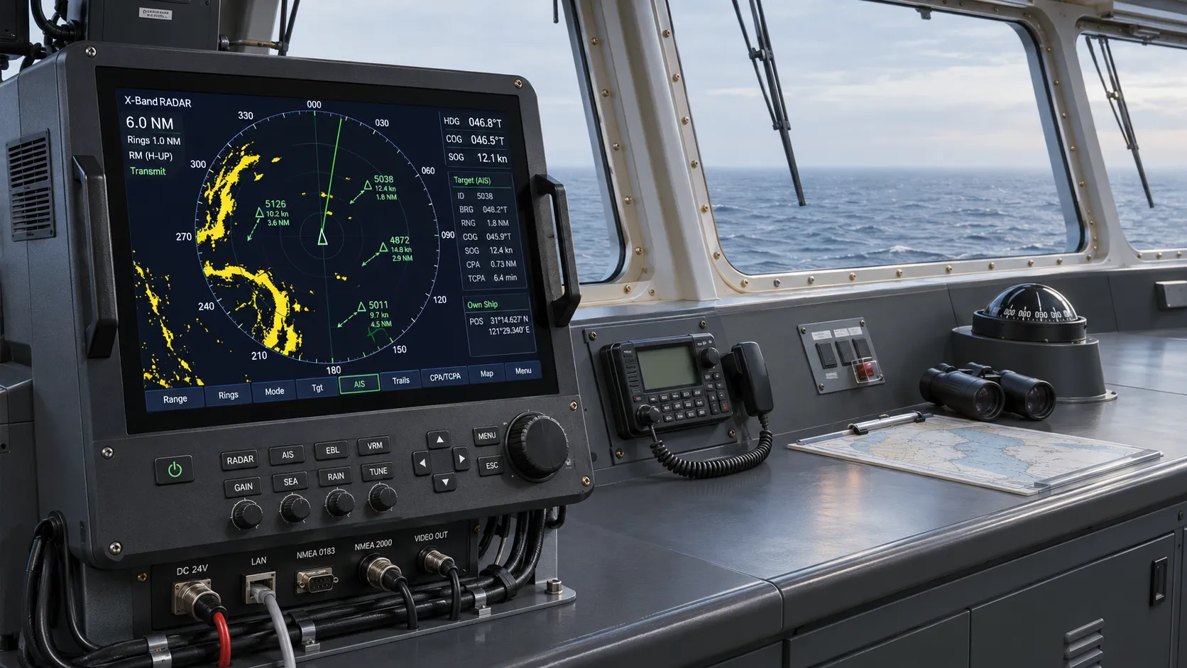
Choosing a Marine Radar Systems Supplier: What to Check Before Buying
Choosing a marine radar systems supplier? Compare installed costs, bridge compatibility, compliance evidence, and service support before you buy.
Related News
- 00
0000-00
High-Precision Navigation in Ports: Choosing GNSS Correction Services - 00
0000-00
How GNCS improves position reliability when GNSS signals degrade - 00
0000-00
Can an AIS Transponder Be Upgraded Without Full Replacement? - 00
0000-00
How to Choose a Marine Positioning Solutions Supplier in Europe for Offshore and Port Operations - 00
0000-00
Marine Positioning Solutions Provider Comparison: GNSS, Accuracy, and Integration Factors
0000-00
Weekly Insights
Stay ahead with our curated technology reports delivered every Monday.