
High-Precision Navigation in Ports: Choosing GNSS Correction Services
In high-precision marine navigation, ports present a demanding test for GNSS positioning: cranes, buildings, vessel structures, and radio interference can degrade signal quality just where accurate maneuvering matters most. Choosing a correction service means weighing accuracy, availability, integrity, latency, coverage, and compatibility with onboard systems—not relying on headline precision alone.
The central distinction is between a correction service that performs well in open water and a complete positioning system that remains usable beside a berth. Corrections can reduce satellite orbit, clock, and atmospheric errors, but they cannot reliably remove every reflection, restore signals blocked by a crane, or guarantee that a reported position is safe to use. Selection therefore starts with the maneuver and its consequences, not with the smallest advertised error.
Define the position the maneuver actually requires
A correction service improves the GNSS solution at the antenna. A docking operation, however, depends on the position and movement of points such as the bow, stern, or ship side relative to a berth. Turning antenna coordinates into those operational quantities requires accurate antenna offsets, vessel geometry, heading, and, where relevant, attitude information.
Heading error can become a significant source of error at a point far from the antenna. For example, with a 100-metre separation between the antenna and the point of interest, a one-degree heading error produces a lateral error of roughly 1.7 metres. That geometry can outweigh the difference between two correction subscriptions. Antenna placement, heading sensor performance, lever-arm configuration, and display integration deserve attention alongside the correction method.
Define the required performance for each phase: approach channel, turning basin, final approach, and alongside operation. A system suitable for tracking a vessel through an open approach may not provide the continuity or local accuracy needed for close-quarters berthing. Requirements should distinguish horizontal position error, heading error, update rate, allowable data age, time to recover after an interruption, and the consequences of an unavailable or misleading output.
Compare correction methods in the port’s operating conditions
Different correction techniques address different error sources and depend on different delivery infrastructure. The labels alone do not determine whether a service is suitable for a particular berth.
Local differential services use observations from a reference station at a known position to reduce errors shared with the vessel receiver. The station’s coordinates, monitoring, maintenance, and correction broadcast are part of the navigation chain. A service available throughout a harbor may still be inadequate for a maneuver requiring tight relative positioning.
Real-time kinematic positioning uses carrier-phase observations to support high-precision relative positioning. Its strongest result depends on resolving integer ambiguities correctly. A receiver reporting an RTK fixed solution can provide excellent performance under favorable conditions, but fixed status is not proof that a position is free from multipath or a wrongly resolved ambiguity. Loss of lock can force the receiver into a float or lower-quality solution, followed by a period of reacquisition.
Network RTK distributes corrections derived from a reference-station network, commonly over an internet connection. Its operational value in a port depends on more than network coverage on a map: mobile data performance alongside steel structures, authentication, roaming arrangements, and the receiver’s ability to use the supplied corrections all matter. A virtual reference station service may also require the vessel receiver to send an approximate position to the network.
Precise point positioning uses correction products to estimate a position without the same local base-station arrangement. PPP-RTK adds information intended to accelerate ambiguity resolution and improve performance in supported areas. Neither term guarantees a particular convergence time or accuracy. Ask how the service behaves after a receiver restart, temporary blockage, or correction outage, and whether its published performance applies to the vessel’s actual receiver and location.
Availability at the berth is different from coverage on a chart
Two independent paths must work: satellite observations must reach the GNSS antenna, and correction data must reach the receiver. A subscription can cover the port geographically while either path is compromised locally.
Container cranes, gantries, superstructures, and stacked cargo can block satellites or reflect their signals. Reflected signals create multipath errors that are especially difficult because the receiver may still output an apparently valid position. Multi-constellation and multi-frequency reception can improve satellite choice and help with some error sources, but it does not eliminate local obstructions or reflected signals.
Correction delivery also needs a berth-level assessment. Cellular or internet-based corrections depend on the data network, onboard modem, authentication, and routing. Satellite-delivered corrections avoid reliance on a local mobile network but still need an unobstructed view of the correction-broadcast satellite and compatible reception equipment. Radio-delivered local corrections depend on transmitter coverage and the vessel’s receiving installation.
Check service performance at the expected antenna location, vessel heading, and tide-related operating geometry where practicable. A test made only in an open approach channel cannot establish performance beneath a crane or alongside a high-sided vessel. The relevant question is not simply whether corrections are received, but whether the navigation solution remains fit for the intended maneuver when reception conditions change.
Read accuracy, latency, and integrity claims together
Accuracy figures are meaningful only when their conditions are clear. A comparison should identify whether the figure is horizontal or three-dimensional, absolute or relative, and expressed as a statistical measure such as RMS or a percentile. It should also state the observation environment, convergence status, reference frame, and whether the result applies to the antenna or a transformed vessel point.
Relative accuracy can matter more than global absolute accuracy when a vessel is being positioned against locally surveyed infrastructure. That only helps if the berth survey, correction service, and onboard transformation use compatible coordinates. A datum or epoch mismatch can create a systematic offset even when the receiver reports a precise solution. Confirm how coordinates are transformed into the frame used by the port’s chart or berthing system, and who maintains those transformations.
Latency has several components: correction generation, transmission, reception, processing, and delivery to the navigation display or control system. A correction’s age is not identical to the age of the displayed vessel position. Both should be visible or measurable, and the system should define what happens when either exceeds its permitted limit. Extrapolation during a short interruption may preserve a smooth display, but a smooth track is not evidence that position uncertainty remains acceptable.
Integrity is a separate question from accuracy: can the system detect an unacceptable error and warn in time for the operation? Receiver quality indicators, solution status, and correction age are useful, but they do not by themselves establish a complete integrity service. Ask whether the provider supplies alerts or protection levels, what faults are monitored, how quickly alerts are issued, and whether those claims apply to maritime use and the relevant correction mode. A port system should not treat a generic accuracy specification as a safety guarantee.
Evaluate the whole data path, not just the subscription
Before comparing service fees, establish whether the existing receiver supports the necessary constellations, frequencies, correction messages, and delivery protocol. A receiver that can display a correction stream is not necessarily capable of using every message in it. Confirm the supported firmware, licensing, update rate, authentication method, and any restrictions on simultaneous use by redundant receivers.
Integration should preserve quality information as well as coordinates. The receiving display, pilot portable unit, or positioning application needs to distinguish fixed, float, differential, autonomous, and invalid states as applicable. It should expose correction age and relevant alarms rather than silently presenting all solutions as equivalent. Check how quickly status changes are propagated and whether downstream equipment can reject stale or degraded data.
Redundancy also needs scrutiny. Two receivers using the same antenna, correction feed, power source, or communications link may share a single point of failure. Likewise, two correction services do not provide independent protection against interference or spoofing that affects the same GNSS signals. Radar, visual references, independent positioning aids, and inertial sensors can support continuity, but their accuracy, alignment, and failure behavior must be assessed as part of the complete arrangement.
Interference and spoofing require explicit consideration because corrections do not authenticate every signal or prevent false measurements. Evaluate available interference indicators, antenna placement, alerting, and operational procedures for suspected position anomalies. Where inertial bridging is used, establish how long its output remains within the maneuver’s limits; position uncertainty grows during GNSS outages.
Make acceptance testing reflect the intended maneuver
A service trial should use the actual receiver configuration and correction delivery path intended for operation. Record raw observations where available, correction age, solution status, alarms, position output, heading, and communication interruptions. Compare position against an independently established reference suitable for the required accuracy; comparing two receivers that share the same error sources is not sufficient validation.
Test more than steady-state performance in clear sky. Include approach and berth locations, representative vessel headings, time beside obstructions, and transitions between open and restricted views. Exercise planned loss and restoration of the correction link, receiver restart, and changes in solution status. If safe and authorized, assess how the integrated display responds to degraded input without interfering with operational navigation.
Acceptance criteria should be set before testing: allowable error and confidence measure, minimum availability, maximum correction and display age, recovery time, and required alarm behavior. Include the operational response when criteria are not met. For a close-quarters maneuver, “continue with degraded accuracy” is not a technical requirement unless the remaining accuracy and independent references have been shown to support that decision.
The most defensible choice is the service whose documented performance, delivery path, receiver behavior, and failure alerts meet the maneuver’s requirements at the locations where they matter. If no correction service can maintain the required performance beside the berth, the solution is not to interpret a precision claim more generously; it is to revise the positioning architecture or operating limits.
Related News

How to Evaluate Supplier Solution References Before Signing a Contract
Evaluate supplier solution references with confidence. Learn how to verify technical evidence, identify delivery risks, and close gaps before signing a contract.

How Capacitive Seat Occupancy Sensing Works in Automotive Airbag Systems
Discover how capacitive seat occupancy sensing supports automotive airbag systems, and explore the design, calibration, and validation challenges behind reliable performance.

Industrial Product References: How to Verify Specs Before Ordering
Use an industrial product reference for procurement to verify specs, compatibility, and certifications before ordering—and reduce costly purchasing risks.

Choosing a Private Label Partner in Europe: Key Supplier Criteria
Private label cooperation Europe buyers can trust starts with the right supplier. Explore key criteria for compliance, quality, traceability and supply resilience.

Integrated Cabin Comfort Systems: How Seat and Cabin Climate Controls Work Together
Discover how integrated cabin comfort systems coordinate seat and climate controls to balance occupant comfort, energy use, safety, and performance.

Automotive Ergonomics Pricing: What Drives Seat System Costs?
Discover what drives automotive ergonomics pricing, from seat mechanisms and safety systems to tooling and volume, and learn how to compare supplier quotes.

Evaluating Supplier Solutions: How to Verify References and Standards
Supplier solution references and standards can make or break a sourcing decision. Learn how to verify claims, assess compliance, and reduce risk before awarding a contract.

Choosing B2B Product Knowledge Platform Suppliers: Key Evaluation Criteria
Compare B2B product knowledge platform suppliers with confidence. Explore key criteria for data accuracy, supplier transparency, integrations, and value.
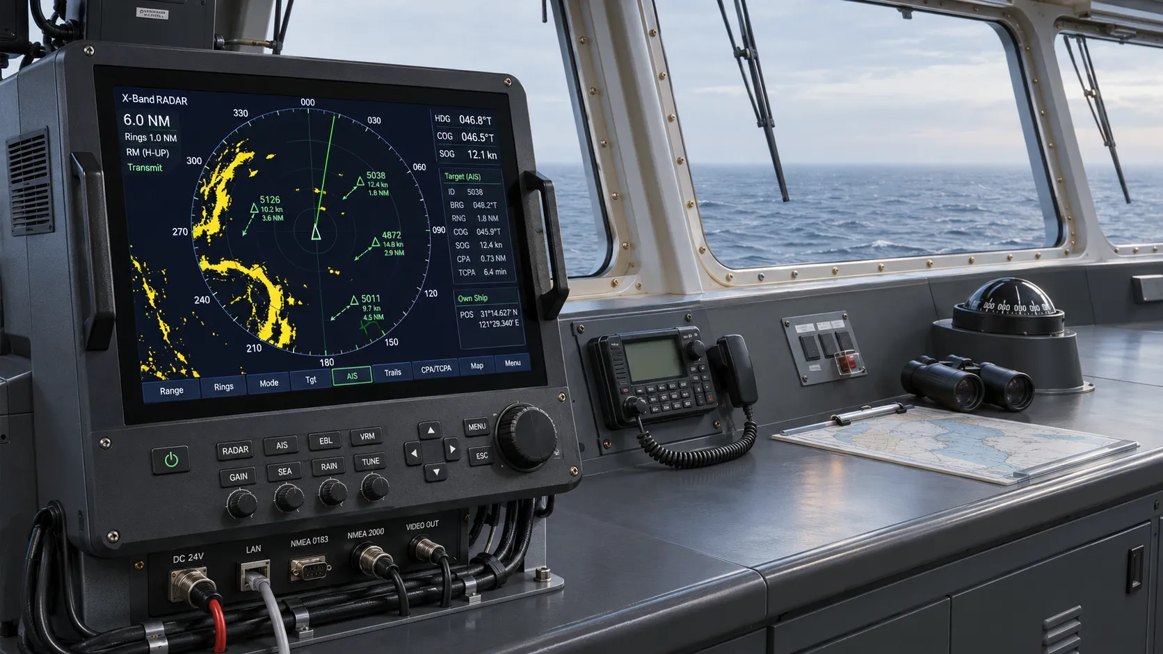
Choosing a Marine Radar Systems Supplier: What to Check Before Buying
Choosing a marine radar systems supplier? Compare installed costs, bridge compatibility, compliance evidence, and service support before you buy.
Related News
- 00
0000-00
High-Precision Navigation in Ports: Choosing GNSS Correction Services - 00
0000-00
How GNCS improves position reliability when GNSS signals degrade - 00
0000-00
Can an AIS Transponder Be Upgraded Without Full Replacement? - 00
0000-00
How to Choose a Marine Positioning Solutions Supplier in Europe for Offshore and Port Operations - 00
0000-00
Marine Positioning Solutions Provider Comparison: GNSS, Accuracy, and Integration Factors
0000-00
Weekly Insights
Stay ahead with our curated technology reports delivered every Monday.