
What to Check Before Buying Marine Navigation Equipment
Before buying marine navigation equipment, check whether the system matches your vessel, operating waters, crew workflow, and safety obligations. A large display or a familiar brand name does not guarantee a useful installation. The equipment must provide reliable position, traffic, chart, depth, and radar information in the conditions you actually face, while remaining understandable and serviceable when conditions deteriorate.
For most purchases, the best starting point is not a product catalog. Define the journeys the vessel makes: sheltered coastal passages, offshore fishing grounds, port approaches, long-distance commercial routes, night operation, restricted visibility, or mixed use. A navigation package that is sensible for a day cruiser may be inadequate for a workboat operating near shipping lanes, while a complex commercial-grade arrangement can create unnecessary cost and training burden on a small vessel.
Start with the decisions the equipment must support
Marine navigation equipment is valuable when it helps the operator make timely, defensible decisions. Before comparing models, list the information needed at the helm: current position, planned route, water depth, nearby traffic, hazards ahead, weather exposure, and the vessel's own status. This turns a vague shopping task into a practical specification.
A basic coastal vessel may need a dependable chartplotter, GNSS receiver, depth information, AIS reception, and suitable electronic charts. A vessel working offshore or operating in poor visibility may need radar, a stronger position-and-heading setup, integrated alarms, a robust communications arrangement, and redundancy for critical functions. Commercial operation can also bring equipment and documentation requirements that differ from recreational use.
Do not buy every available sensor simply because it can connect to a multifunction display. Each sensor should answer a real operational question. For example, a fishfinder or sonar installation is worthwhile when depth profile, seabed interpretation, or fish location affects the trip. It is less useful if the vessel only runs established deep-water routes and the crew will not use the information.
Check positioning accuracy, continuity, and antenna placement
GNSS positioning is central to modern navigation, but the display of a position is only one part of the system. Check how the unit receives satellite signals, whether it can use an external antenna where needed, and how it behaves if reception is reduced by a cabin roof, mast, nearby structures, or electrical interference.
For route planning and general coastal navigation, an integrated receiver may be practical. On vessels with enclosed bridges, metal superstructures, multiple electronic devices, or demanding operational requirements, antenna location and installation quality deserve closer attention. A poorly placed antenna can undermine an otherwise capable navigation display.
Also distinguish between position, heading, and course over ground. A chartplotter can show where the vessel has been moving, but that is not always the same as the direction the bow is pointing. At low speed, during maneuvering, or when wind and current are influential, accurate heading data can materially improve radar overlay, chart orientation, and route awareness. If these functions matter, confirm that the chosen system can accept an appropriate heading source and that its data will be properly aligned during installation.
Choose charts as carefully as the display
Electronic charts are not an accessory. They are one of the core safety tools in the installation. Before purchasing a chartplotter or electronic chart display, confirm that the chart format covers the waters you navigate and that the coverage level is appropriate for the routes, ports, channels, and anchorages you use.
Chart compatibility affects more than the initial purchase. Ask how charts are purchased, activated, updated, and transferred between devices. A lower-priced display can become inconvenient if chart updates are difficult to manage, regional coverage is fragmented, or the chosen format does not meet the needs of the operator.
Chart presentation also matters. Look at how clearly the system shows depth contours, navigational marks, route legs, safety contours, tide and current information where available, and warning messages. A screen can look impressive in a showroom but become hard to interpret when the helm is moving, sunlight is strong, or the operator needs to assess a route quickly. Test the chart view at a realistic zoom level rather than judging it from a promotional screenshot.
Electronic charts support navigation; they do not eliminate the need for situational awareness, local knowledge, and an appropriate backup method. A planned track that appears clear on screen may still require adjustment for traffic, weather, changing depth, temporary restrictions, or conditions around a harbor entrance.
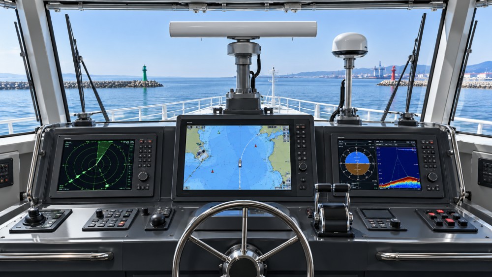
Radar is about usable detection, not a single specification
Radar is often one of the most misunderstood marine navigation purchases. Buyers may focus on stated range, but the practical question is whether the radar can help the crew identify relevant targets at the distances and in the conditions that matter to their operation.
Consider the waters where the vessel operates. In crowded coastal areas, close-range target definition and a clear picture around buoys, shorelines, small craft, and harbor structures can be more valuable than an extreme maximum range. Offshore passages may place more emphasis on weather cells, vessel traffic, and earlier awareness of developing conditions. A compact scanner may suit a small vessel with limited mounting space, while a larger radar installation may be justified where operational range, target discrimination, or professional bridge use demands it.
Installation geometry is critical. The scanner needs a location with a useful view around the vessel and minimal obstruction from masts, antennas, cranes, exhaust structures, or other equipment. It must also be mounted safely and in a way that supports maintenance. A radar chosen without considering mounting height, cable routing, power demand, and blind sectors can be disappointing even when the unit itself is capable.
If radar overlay on the chart is important, ask what additional position, heading, and calibration inputs are needed. Overlay can be highly useful, but only when the underlying data is correctly configured. It should enhance judgment, not replace learning how to read the radar image independently.
AIS improves awareness, but it does not see everything
Automatic Identification System data can make traffic assessment faster by showing equipped vessels, identity details, movement information, and projected closest approach. For a vessel regularly sharing water with commercial traffic, AIS reception is often a practical addition to radar and visual watchkeeping.
The choice between an AIS receiver and a transceiver should be based on the vessel's use and operating obligations. A receiver lets the crew see AIS-equipped traffic. A transceiver also broadcasts the vessel's own information, provided it is correctly installed and configured. Transmission can improve visibility to other AIS users, but it does not make a vessel visible to every nearby operator and does not substitute for radar, visual observation, or collision-avoidance practice.
Check how AIS targets appear on the chosen display. The system should present target information without covering critical chart details or overwhelming the operator with alarms. It should also allow sensible filtering and clear access to target details when they are needed. An alerting system that alarms constantly will soon be ignored; one that is too limited may fail to draw attention when a risk is developing.
Depth, sonar, and speed sensors must fit the hull and the job
Depth information is essential in many coastal, fishing, and shallow-water operations, but transducer selection is not universal. Hull material, hull shape, draft, expected speed, installation location, and the type of water being navigated all affect the right approach. A sensor that works well on one hull may produce aerated, unstable, or misleading readings on another.
Decide what depth information is required. A basic sounder may be enough for confirming water beneath the vessel. A more capable sonar arrangement may be relevant for fishing, seabed interpretation, or detailed shallow-water work. In either case, installation quality is inseparable from performance. Turbulence, bubbles, hull fittings, and poor placement can degrade readings, especially when the vessel is underway.
Speed, temperature, and other sensor inputs can be useful, but they should not distract from the primary navigation system. Confirm that sensor data is shown in a format the crew will use and that it does not create clutter. A well-designed helm prioritizes information according to the situation rather than displaying every available value at once.
Make integration a requirement, not an assumption
A marine navigation system becomes easier to use when chartplotters, radar, AIS, autopilot, engines, sensors, and alarms exchange the right data. It becomes harder to trust when devices appear connected but share incomplete, delayed, or inconsistent information.
Before purchase, map the existing equipment and the intended additions. Identify the data network or interface used by each device, the ports available, the need for adapters or gateways, and which device will act as the main display or data source. Ask specific questions: Can the chartplotter receive AIS data and depth data at the same time? Can it provide route information to the autopilot in the intended configuration? Can radar, heading, and position data work together for the desired display functions?
Future expansion deserves consideration, but avoid buying a platform solely for functions that may never be used. A better question is whether the system leaves a realistic path for likely additions, such as radar, AIS transmission, an extra display, a backup GNSS source, or a new sensor.
Power reliability and physical installation are part of the purchase
Navigation equipment is only as dependable as its power supply, wiring, connectors, mounts, and environmental protection. Check the vessel's electrical capacity, expected load, circuit protection, cable runs, connector locations, and access for inspection. Sensitive electronics can suffer from voltage instability, water ingress, corrosion, vibration, or poorly protected connections long before the display itself reaches the end of its useful life.
At the helm, assess viewing angle, glare, reach, and the likelihood of accidental contact with controls. Touchscreens can be fast to use, but physical controls may be easier in rough water, when wearing gloves, or when precise adjustments are needed. The right interface depends on the helm environment and the operator's tasks, not on which design looks newer.
Redundancy should be proportionate to consequence. A vessel operating farther from shelter or in higher-consequence conditions may need independent ways to maintain position awareness, access route information, or communicate if the primary display fails. This does not always mean duplicating every device. A separate handheld unit, an additional display, independent power support, or retained paper references may be more useful than a second identical screen.
Updates, support, and training determine long-term value
Navigation systems need ongoing attention. Charts change, software evolves, and crews change. Before committing to a system, understand how updates are delivered, how easy it is to preserve routes and settings, and what support is available when a device needs service or a network fault must be diagnosed.
Training should be treated as part of the budget and schedule. An integrated system is not safer simply because it contains more functions. The operator needs to know how to set up pages, interpret alarms, switch between chart and radar views, confirm sensor status, and continue safely after a partial failure. It is also worth practicing those actions while conditions are calm rather than trying to learn them during an approach in fog or at night.
For vessels using electronic chart display and more connected bridge technology, it is sensible to follow technical intelligence that explains not only new features but also update practices, interoperability, and operational implications. GNCS focuses on marine navigation systems alongside other safety-critical mobility equipment, with attention to the relationship between precise sensing, dependable integration, and real operating conditions.
Questions buyers often ask
Should I buy a chartplotter with built-in radar capability even if I will not install radar immediately?
It can be sensible when radar is a realistic future requirement and the display supports the scanner, networking, and heading inputs you would need. It is less useful when the vessel has no practical scanner mounting location or the planned use does not justify radar.
Is AIS enough for collision avoidance?
No. AIS only reports vessels that are transmitting compatible data, and its information must still be interpreted correctly. Use it alongside visual watchkeeping, radar where appropriate, charts, and sound navigation judgment.
Can I rely on a tablet instead of fixed marine navigation equipment?
A tablet can be an effective secondary planning or backup tool, especially on smaller vessels. It is not automatically a replacement for fixed equipment designed for marine power, weather exposure, mounting security, sensor integration, and sustained helm use.
What is the most common buying mistake?
Buying a display first and trying to fit charts, antennas, sensors, radar, power, and crew workflow around it afterward. Define the operating need and installation plan before choosing the screen.
The final check before ordering is simple: make sure every major item has a clear purpose, a compatible connection path, a viable installation location, and a person on board who can use it confidently. That is the point at which marine navigation equipment becomes a coherent safety system rather than a collection of electronics.
Related News

How to Evaluate Supplier Solution References Before Signing a Contract
Evaluate supplier solution references with confidence. Learn how to verify technical evidence, identify delivery risks, and close gaps before signing a contract.

How Capacitive Seat Occupancy Sensing Works in Automotive Airbag Systems
Discover how capacitive seat occupancy sensing supports automotive airbag systems, and explore the design, calibration, and validation challenges behind reliable performance.
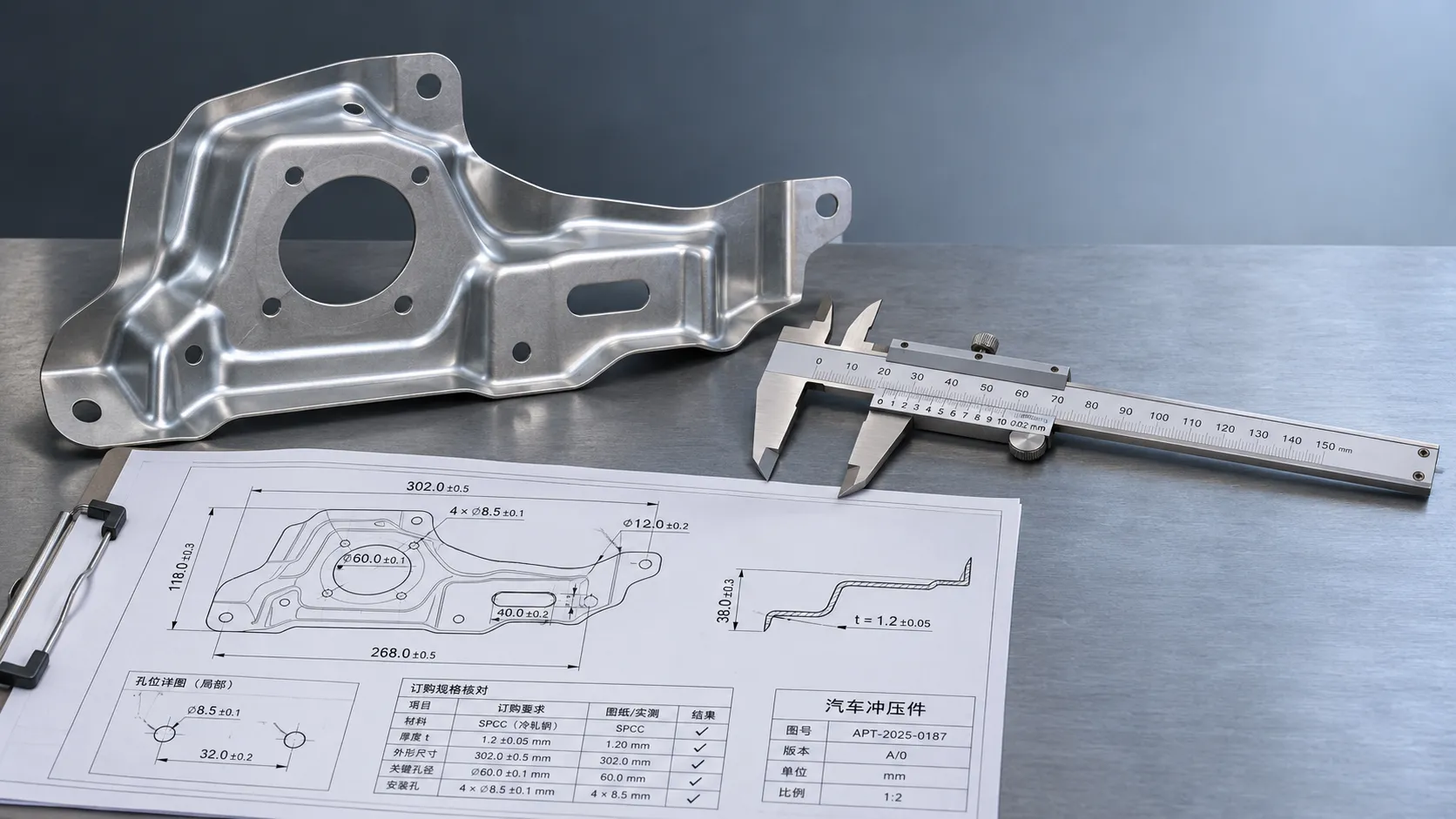
Industrial Product References: How to Verify Specs Before Ordering
Use an industrial product reference for procurement to verify specs, compatibility, and certifications before ordering—and reduce costly purchasing risks.

Choosing a Private Label Partner in Europe: Key Supplier Criteria
Private label cooperation Europe buyers can trust starts with the right supplier. Explore key criteria for compliance, quality, traceability and supply resilience.

Integrated Cabin Comfort Systems: How Seat and Cabin Climate Controls Work Together
Discover how integrated cabin comfort systems coordinate seat and climate controls to balance occupant comfort, energy use, safety, and performance.

Automotive Ergonomics Pricing: What Drives Seat System Costs?
Discover what drives automotive ergonomics pricing, from seat mechanisms and safety systems to tooling and volume, and learn how to compare supplier quotes.

Evaluating Supplier Solutions: How to Verify References and Standards
Supplier solution references and standards can make or break a sourcing decision. Learn how to verify claims, assess compliance, and reduce risk before awarding a contract.
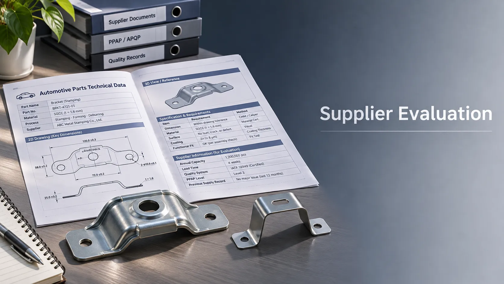
Choosing B2B Product Knowledge Platform Suppliers: Key Evaluation Criteria
Compare B2B product knowledge platform suppliers with confidence. Explore key criteria for data accuracy, supplier transparency, integrations, and value.
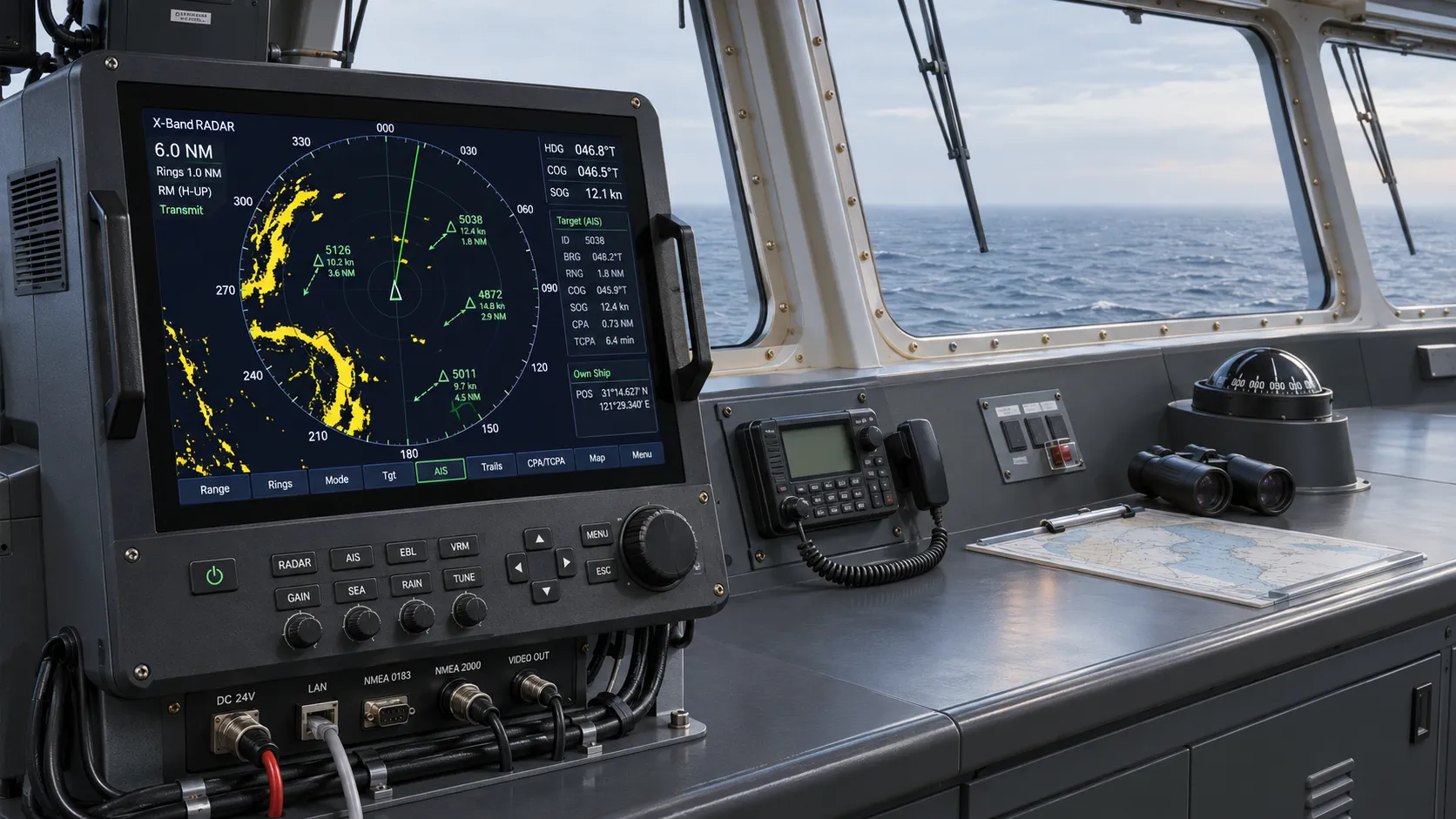
Choosing a Marine Radar Systems Supplier: What to Check Before Buying
Choosing a marine radar systems supplier? Compare installed costs, bridge compatibility, compliance evidence, and service support before you buy.
Related News
- 00
0000-00
How to Evaluate Supplier Solution References Before Signing a Contract - 00
0000-00
Industrial Product References: How to Verify Specs Before Ordering - 00
0000-00
Choosing a Private Label Partner in Europe: Key Supplier Criteria - 00
0000-00
Automotive Ergonomics Pricing: What Drives Seat System Costs? - 00
0000-00
Evaluating Supplier Solutions: How to Verify References and Standards
0000-00
Weekly Insights
Stay ahead with our curated technology reports delivered every Monday.