
How to Evaluate Marine Navigation Systems for Offshore Vessels by Mission and Sea Conditions
Why offshore navigation evaluation starts with mission, not equipment lists
A common mistake in selecting marine navigation systems for offshore vessels is treating the task as a comparison of standalone devices: radar range, chart software, GNSS accuracy, screen size, sensor count. That is not how offshore navigation risk actually appears on the bridge. Risk shows up when a vessel has to hold course in reduced visibility, maintain positional awareness near subsea assets, continue operations after a sensor fault, or satisfy flag, class, and carriage requirements without overloading the crew with fragmented data. In practice, the quality of a navigation system is not defined by how many functions it contains, but by how coherently it supports a specific mission in a specific sea state.
For technical evaluators, the useful question is therefore not “Which system is most advanced?” but “Which architecture remains usable, trustworthy, and compliant under the operational profile of this vessel?” An offshore supply vessel running repetitive approaches to platforms, a survey vessel requiring stable geospatial accuracy, and a long-endurance patrol vessel crossing mixed traffic and open-ocean weather do not need the same balance of sensors, failover strategy, and human-machine interface.
What a marine navigation system really includes offshore
In offshore work, a navigation system is best understood as an integrated decision environment rather than a single product category. It typically combines satellite positioning, gyro and heading references, speed and motion inputs, radar, AIS, echo sounder or depth inputs where relevant, electronic chart display, alarm management, and interfaces to autopilot, track control, dynamic positioning support functions, or voyage data recording depending on the vessel’s role. The evaluation problem is less about whether each box exists and more about whether the combined system preserves situational awareness when conditions deteriorate.
This matters because offshore navigation has two layers. One is the conventional “where am I and what is around me?” layer. The other is operational context: proximity to exclusion zones, cable routes, rigs, wind farm structures, towing geometry, workboat traffic, or restricted maneuvering envelopes. A navigation suite that performs well for transit may still be poorly matched to close-quarters offshore tasks if alerting logic, overlay management, target discrimination, or redundancy design are weak.
Mission profile changes the selection criteria
Positioning accuracy is the obvious headline, but the required kind of accuracy changes by mission. For blue-water transit, continuity and integrity may matter more than very tight absolute positioning. For survey, construction support, or operations around fixed offshore infrastructure, repeatability, update rate, and resistance to signal degradation become more important. Evaluators should separate broad claims such as “high-precision navigation” into operationally meaningful questions: How stable is the solution during multipath or partial masking? How quickly does the system flag degraded input quality? Can operators distinguish between a true navigation solution and a carried-forward estimate after sensor interruption?
The mission also affects display design. A vessel conducting long passages can tolerate a cleaner, simpler layout optimized for route monitoring and collision avoidance. A workboat serving offshore assets may need denser overlays, target filtering, shallow-water awareness, and faster access to maneuver-relevant data without burying the operator in menus. If the system only looks good in a showroom demo, it is being judged in the wrong environment.
Sea conditions are not a backdrop; they change sensor behavior
Sea state, precipitation, temperature gradients, and traffic density all affect navigation performance in ways that brochures rarely explain. Radar interpretation changes in heavy rain and sea clutter. GNSS performance can be influenced by antenna placement, interference exposure, and local obstructions created by vessel structures or offshore installations. Heading quality can degrade if motion dynamics exceed what a reference sensor handles comfortably. Even user interaction changes when the bridge team is working in motion, under fatigue, and in low-visibility watch conditions.
That is why offshore evaluation should include not only nominal specifications but degraded-mode behavior. A system may quote excellent performance under ideal signal conditions and still be a weak fit if it gives poor warning of sensor disagreement, handles switching badly, or forces operators to reconstruct the truth manually from several screens. In demanding waters, timely indication of uncertainty is often more valuable than an apparently precise display that hides its own limitations.
The most useful evaluation questions are about integration and failure handling
When engineers review marine navigation systems for offshore vessels, the strongest differentiator is usually not the primary function set but the quality of integration. Sensor fusion, time synchronization, alarm prioritization, and interface consistency determine whether the bridge team can trust the picture in front of them. A technically rich suite becomes operationally fragile if one failed input propagates confusion across radar overlays, chart references, target tracking, or track control.
A practical review often centers on a short list of questions:
- Does the system make source selection and source health visible, or are critical dependencies hidden?
- Can it continue with acceptable functionality after loss of a GNSS feed, heading sensor, display unit, or network segment?
- Are alarms actionable, or does the bridge team receive a flood of messages without clear operational priority?
- How much manual intervention is required to recover from faults or to verify conflicting data?
- Do chart, radar, AIS, and conning information support one another cleanly, especially during close maneuvering?
These are not abstract design preferences. They determine whether redundancy is real or merely duplicated hardware that still fails in the same way.
Compliance matters, but compliance alone is not a selection strategy
Offshore evaluators do need to consider carriage and performance requirements. Depending on vessel type, flag, area of operation, and equipment fit, relevant frameworks may include SOLAS obligations, IMO performance standards, IEC testing standards for bridge and navigation equipment, IHO standards related to electronic chart data and ECDIS behavior, and class society requirements. But it is a mistake to treat compliance as proof of mission suitability. Compliance establishes a baseline. It does not tell you whether a given interface supports safe watchkeeping in congested offshore zones, or whether sensor redundancy is architected sensibly for your work pattern.
This distinction becomes important when comparing integrated bridge offerings. Two systems may both satisfy formal requirements, yet differ substantially in update management, cyber hardening practices, lifecycle support, network segregation, and maintainability offshore. Those points rarely dominate product marketing, but they often dominate ownership experience.
Common misunderstandings that distort procurement decisions
One recurring misunderstanding is to equate more sensors with better safety. Extra sensors only help when their roles are defined, their data quality is visible, and their failure modes do not collapse into a single dependency such as shared power, common network paths, or poor antenna siting.
Another is to assume that digital integration automatically reduces operator workload. Sometimes it does the opposite. If screen hierarchy is cluttered, alert logic is noisy, or mode changes are insufficiently obvious, an integrated platform can increase cognitive burden at exactly the wrong time. Bridge usability is not a cosmetic issue; it is part of navigational resilience.
A third error is focusing too narrowly on procurement cost. Offshore vessels operate in environments where downtime, aborted operations, chart update discipline, service response delays, and crew retraining can outweigh initial hardware differences. The evaluation horizon has to include lifecycle friction, not just acceptance testing.
A practical evaluation frame for technical teams
A useful way to assess options is to score them across four dimensions rather than one headline ranking. First is navigational fitness: accuracy, integrity awareness, target presentation, and route or maneuver support under the intended mission profile. Second is environmental robustness: performance under sea clutter, poor visibility, motion, signal degradation, and bridge workload. Third is architecture resilience: redundancy, fault isolation, data-source transparency, and recovery behavior. Fourth is operational maintainability: compliance updates, chart and software management, vendor support model, spare strategy, and crew learning curve.
What experienced evaluators usually decide last
The final decision is often less about choosing the system with the broadest specification sheet and more about choosing the one whose limitations are best understood and best controlled. That is a more mature standard. Every navigation architecture has boundaries: update dependencies, environmental sensitivities, human factors constraints, installation requirements, and maintenance implications. Good evaluation exposes those boundaries early.
For offshore vessels, the strongest marine navigation systems are the ones that remain legible under pressure, degrade transparently, recover predictably, and fit the vessel’s actual work rather than an idealized use case. If a technical review keeps mission profile, sea conditions, integration logic, and compliance baseline in the same frame, procurement becomes less about buying features and more about reducing navigational uncertainty in the real operating envelope.
Related News
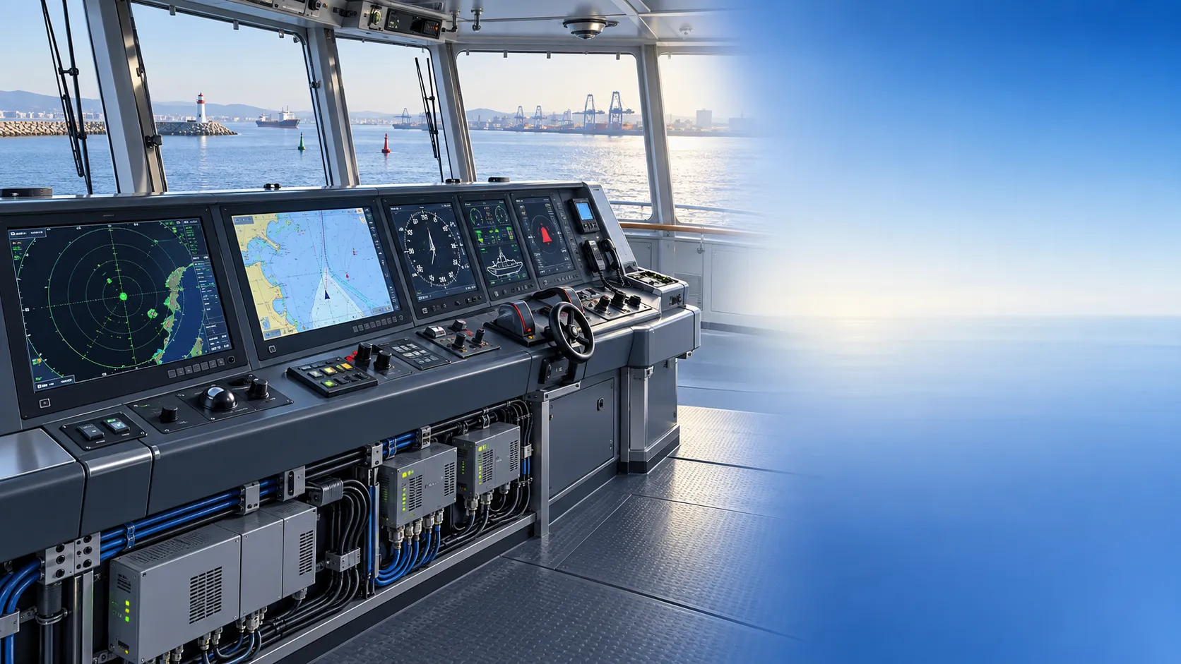
How to Specify Integrated Marine Electronics for Reliable Bridge Operations
Integrated marine electronics: learn how to specify reliable bridge systems with clear data flows, redundancy, alarm control, lifecycle interfaces, and operational testing.

How to Evaluate Navigation Radar Manufacturers for Commercial Vessel Projects
Navigation radar manufacturers: learn how to compare performance, compliance, integration, support, and lifecycle cost for commercial vessel projects.

How Adjustable Cabin Ergonomics Reduce Operator Fatigue in Long-Shift Vehicles
Adjustable cabin ergonomics reduces operator fatigue through better seating, reach, visibility, vibration control, and climate comfort for safer long-shift vehicles.

How Rear-Impact Safety Components Work Together to Protect Vehicle Occupants
Explore how automotive safety components for rear impact work together—from crash structures and seats to head restraints and belts—to enhance occupant protection.
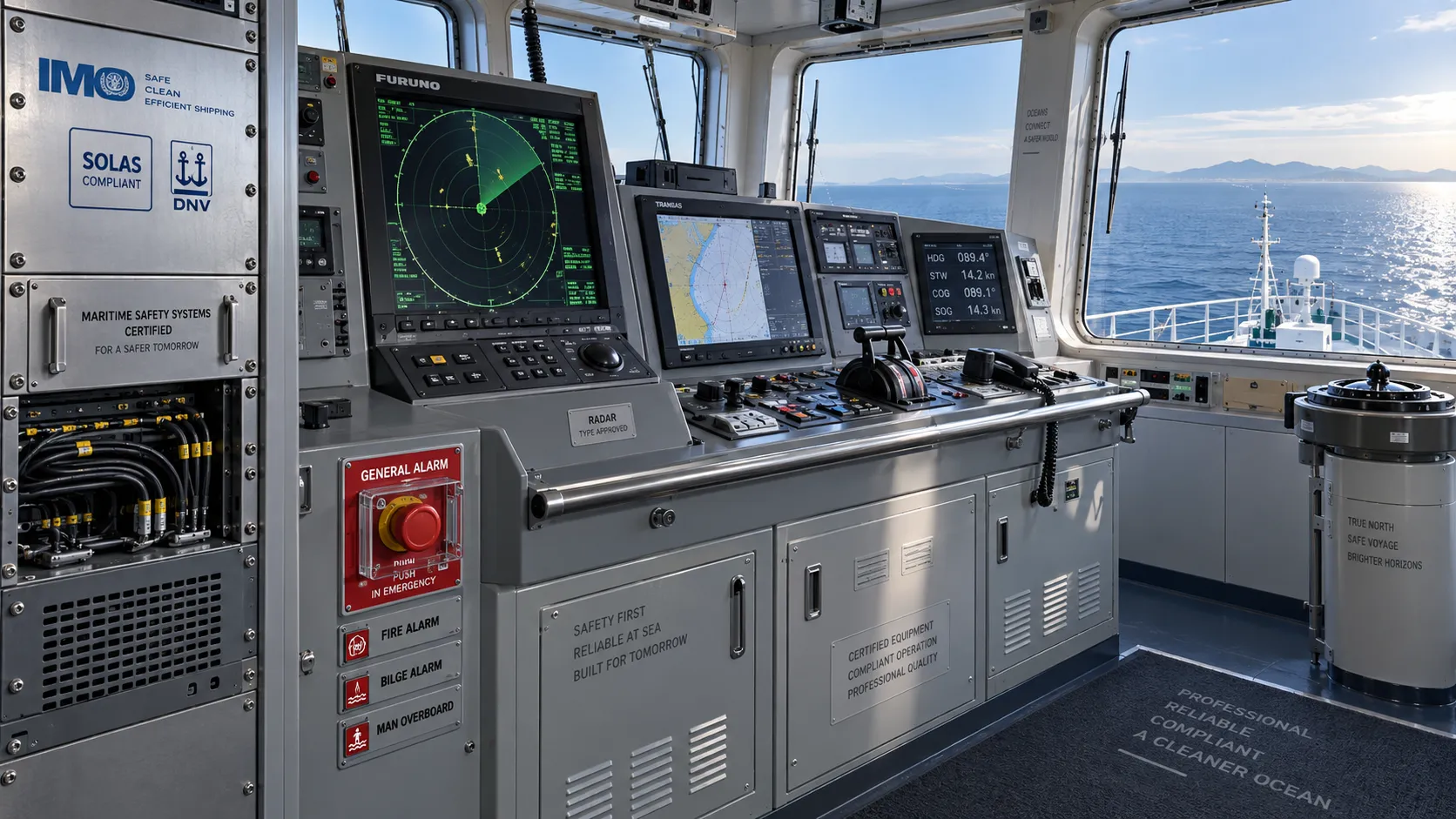
How to Evaluate a Marine Safety Systems Manufacturer for Vessel Compliance and Reliability
Marine safety systems manufacturer evaluation guide: verify compliance, engineering quality, lifecycle costs, and global service support for safer, reliable vessel operations.

Crash Test Regulations for Seatbelts: Key Compliance Requirements Explained
Crash test regulations seatbelts explained: explore FMVSS, UN rules, anchorage strength, and dynamic restraint testing for safer, compliant vehicle systems.

How to Calculate the Total Cost of Automotive Lightweighting for a Vehicle Program
Automotive lightweight solutions cost: learn how to calculate program-level costs, including materials, tooling, joining, validation, risk, and vehicle-level value.

How Automotive Seat Occupancy Sensing Improves Airbag Deployment Decisions
Automotive seat occupancy sensing helps optimize airbag deployment decisions, improving passenger classification, safety diagnostics, and compliance across real-world conditions.

What Drives Lightweight Body Component Costs in High-Volume Vehicle Programs?
Lightweight body components cost depends on material yield, forming, joining, tooling, validation, and logistics. Explore proven ways to optimize total vehicle program cost.
Related News
- 00
0000-00
How to Specify Integrated Marine Electronics for Reliable Bridge Operations - 00
0000-00
How Adjustable Cabin Ergonomics Reduce Operator Fatigue in Long-Shift Vehicles - 00
0000-00
How to Evaluate a Marine Safety Systems Manufacturer for Vessel Compliance and Reliability - 00
0000-00
How to Calculate the Total Cost of Automotive Lightweighting for a Vehicle Program - 00
0000-00
What Drives Lightweight Body Component Costs in High-Volume Vehicle Programs?
Weekly Insights
Stay ahead with our curated technology reports delivered every Monday.